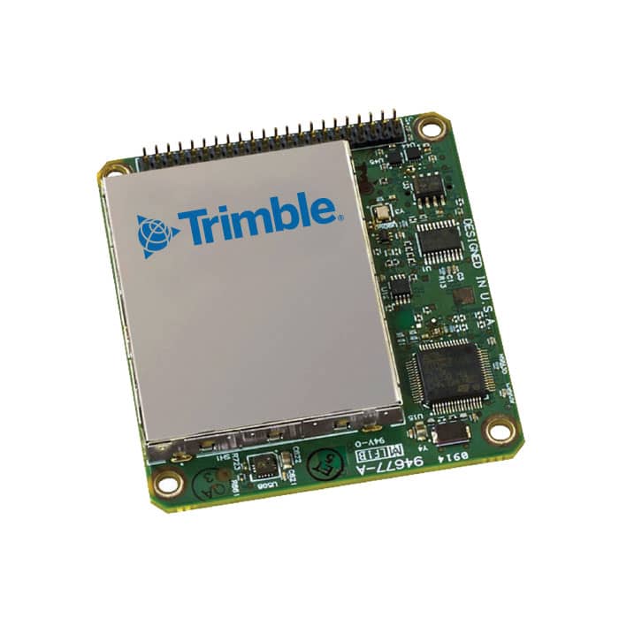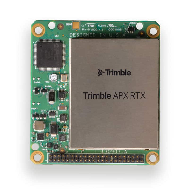
Trimble has announced that its Trimble RTX GNSS corrections technology can now achieve horizontal accuracies of better than two centimeters.
Start-up times, commonly referred to as convergence, have also improved. Users can now achieve full accuracy in less than 15 minutes, and as fast as one minute in select areas where RTX Fast network infrastructure is available. This performance is achievable using Trimble’s premier correction service, CenterPoint RTX, delivering RTK-level accuracy outside traditional Virtual Reference Station (VRS) networks, considered the gold standard for high-accuracy corrections. Trimble RTX provides unprecedented performance from a satellite-delivered correction source. In addition, corrections are available via an Internet or cellular connection.
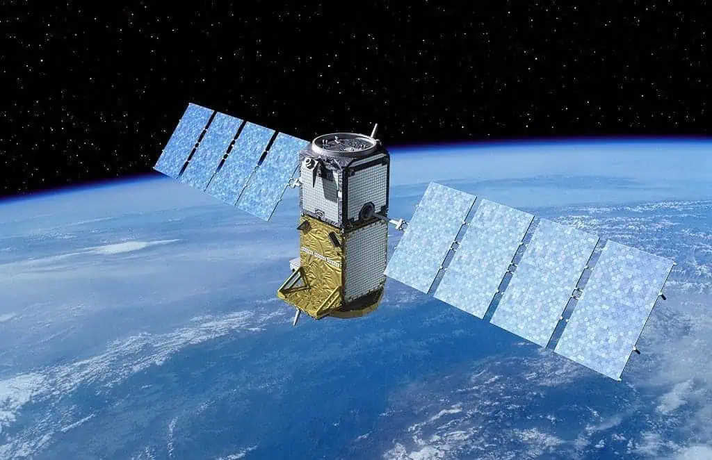
With satellite-delivered Trimble RTX corrections, users can perform a variety of positioning fieldwork with UAVs (unmanned aerial vehicles) and other unmanned systems in some of the most remote locations, without relying on traditional ground-based VRS networks or a local RTK base station to receive high-accuracy positioning data. By simply powering on an RTX-capable receiver or display, customers can start working quickly with only a minimal convergence period. As long as the user has line of sight to the sky they can work freely without being constrained by the geographic boundaries of a VRS network.
Offering a suite of correction services, Trimble RTX provides users the flexibility to choose the level of accuracy to suit their application needs from meter to centimeter level. It is an ideal correction solution for a variety of applications including agriculture, survey, mapping, construction, automotive and any location-based service that could benefit from greater precision. Trimble RTX also powers Trimble xFill technology, a feature that enables RTK and VRS users to continue working if their primary correction stream is not available. xFill, delivered via satellite, “fills in” for RTK corrections in the event of temporary radio or Internet connection outages. As a result, users can experience fewer interruptions and less downtime.
“Trimble RTX performance and reliability are changing the positioning game for users who never considered a satellite-delivered correction service for applications traditionally requiring RTK-level accuracy,” said Patricia Boothe, Vice President of Trimble’s Advanced Positioning Division. “Trimble RTX offers a global solution delivering similar performance to VRS where terrestrial networks are not available.”
Trimble’s RTX network is currently available throughout most of the world, with the RTX-Fast network coverage available in select geographies in the U.S., Canada and throughout most of Europe, when using Trimble RTX compatible GNSS receivers.