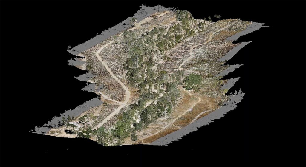
In this informative webinar you’ll learn how you can collect data efficiently and safely while cutting costs, saving time, and creating powerful data deliverables like 3D point clouds.
During this webinar we’ll demonstrate how to convert data collected from a LiDAR mission into a point cloud comprised of over 6 million points, which will be used to create highly accurate digital surface models and contours. Watch the entire process, in this webinar, and see how you can start saving time and money by adding drone-based LiDAR to your workflow.
In this half-hour webinar we will cover:
- The components of UAV LiDAR
- Evaluate the benefits of drone-based LiDAR
- How to create a point cloud with a visual data demonstration.
- Invitation to Special Offer for attendees only
CLICK HERE to watch the replay


