


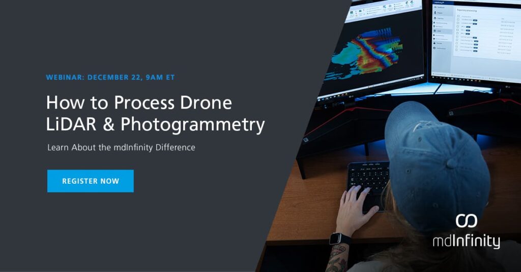
mdInfinity is a complete software suite for your aerial data processing of LiDAR and photogrammetry
With Unmanned Vehicle (UV) and LiDAR data collection adoption rapidly rising in popularity, the mdInfinity mission is to develop software designed to clean and refine data collected by these systems, including, but not limited to pointclouds and images.
Whether you are creating a digital model of your assets, surveying a large dam, calculating volume of piles for month end inventory, or creating maps of powerlines, mdInfinity will guide you through the necessary steps of data processing in a simple, repeatable and efficient workflow.
In this webinar we will cover:
- What is mdInfinity?
- How to use it?
- The workflow
- Review the Data Processing Modules


