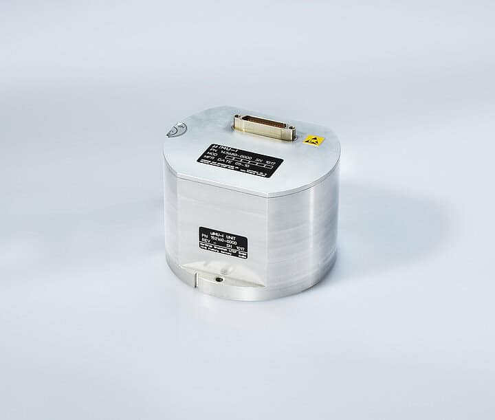
LITEF is a developer of navigation and positioning systems for tactical Unmanned Aerial Vehicles (UAVs), based on advanced MEMS and FOG technologies.

How is LITEF leveraging its six decades of expertise to advance next-generation MEMS and FOG technologies for tactical UAV navigation?
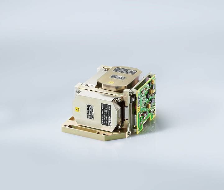
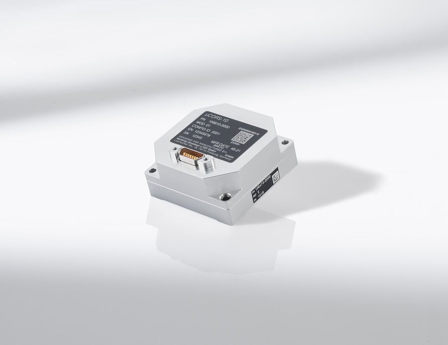
Throughout six decades, LITEF has built extensive expertise in the Attitude, Heading, Reference System (AHRS) and Inertial Reference System (IRS) markets for both civil and military aviation. The company addresses the challenges of UAV navigation by delivering the highest performance in the smallest possible form factor while maintaining stringent safety standards, capabilities that are especially critical for autonomous operations such as Urban Air Mobility.
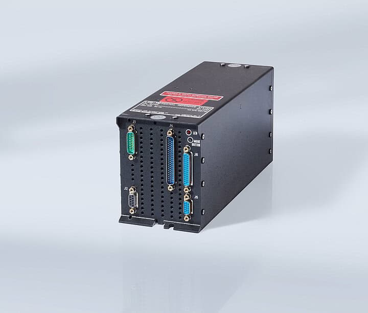
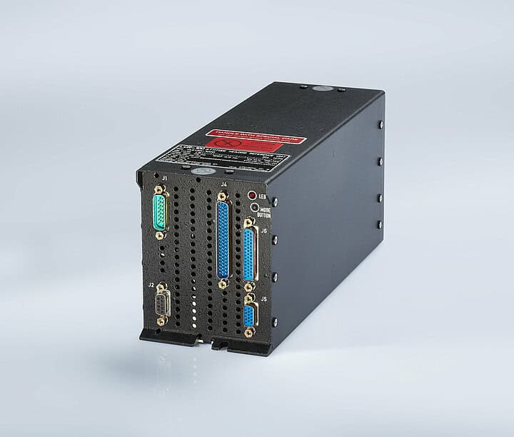
What design innovations allow your ITAR-free Inertial Measurement Units (IMU) and AHRS systems to achieve high accuracy while maintaining strict SWaP constraints for small UAV platforms?

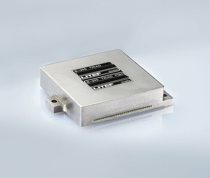
For FOG technology, our focus is on reducing system size while maintaining high performance and strong environmental robustness.
Can you explain how your MEMS- and FOG-based systems meet DO-178C/DO-254/DO-160 requirements, and what challenges you face in certifying compact avionics for unmanned aircraft?
Certification is considered from the very beginning of development. Modern toolchains support compliance with software (DO-178C) and complex electronic hardware (DO-254) requirements, while environmental standards (DO-160) are rigorously tested and continuously fed back into the design process.
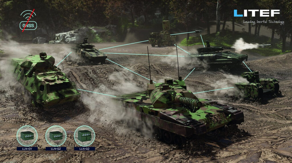
How is LITEF preparing its navigation solutions for the growing need for resilience in GNSS-denied and contested electromagnetic environments?
Inertial systems in general are not sensitive to GNSS jamming or spoofing. However, to ensure that a GNSS failure does not affect position accuracy, such incidents must be detected. In these cases, the coasting performance of the position and the integrity are key to withstanding such attacks. Our systems are capable of detecting jamming and spoofing within a short time and indicating the incident to the FMS.
Additionally, we are working on improving our core sensors (MEMS, FOG) to ensure that coasting time without significant position error is as long as possible. We are also developing novel sensor-fusion algorithms, meaning the integration of additional aiding sensors, such as image-based navigation. This is another measure to ensure reliable operation in contested electromagnetic environments.
What testing and validation methods does LITEF use to ensure robust performance under high-frequency electromagnetic radiation, such as radar exposure?
LITEF maintains an Electromagnetic Compatibility (EMC) laboratory where resilience to electromagnetic radiation is tested early in the design process to ensure reliable operation in the field.
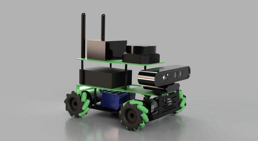
What engineering challenges arise when integrating hybrid navigation (FOG/MEMS + GNSS) into compact systems, and how has LITEF addressed them?
LITEF is capable of extending hybrid navigation not only with GNSS but also with additional aiding sensors, depending on the application: TAS, LOG, odometers, and more advanced sensors such as cameras to calculate velocity fields or enable map-based positioning.
The main challenge is the characterization of these additional sensors, which is carried out through testing and simulation.
Thank you for your time. It has been a pleasure speaking with Dr. Uwe Herberth, and we look forward to following your continued advancements in UAV navigation technologies.