


Drone LiDAR
Discover cutting-edge solutions from 4 leading global suppliers
SUPPLIER SPOTLIGHT
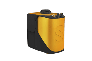
SCOUT-32
SCOUT-32
Phoenix LiDAR has released a case study detailing how its SCOUT LiDAR systems were used by CSX Transportation for railway overhead obstruction clearance analysis prior to transporting multi-million dollar oversized equipment.
CSX uses the SCOUT systems to deploy its high-rail trucks and geometry cars to continuously collect data for 200+ mile corridors.

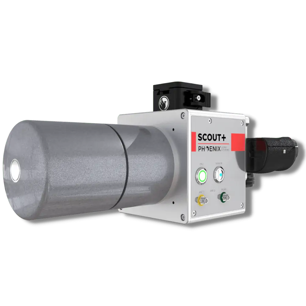
SCOUT-16
To find out more about Phoenix LiDAR’s SCOUT LiDAR solutions, read the full case study here.


