


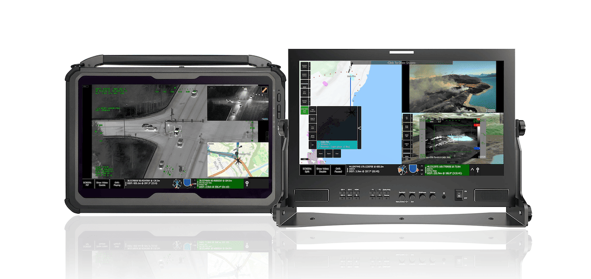
TrakkaMaps is an advanced mission mapping and video management platform for UAVs (unmanned aerial vehicles). Featuring powerful real-time and post-processing capabilities, it can be installed on a wide variety of ground control station (GCS) and computer hardware such as tablets and ruggedized laptops.
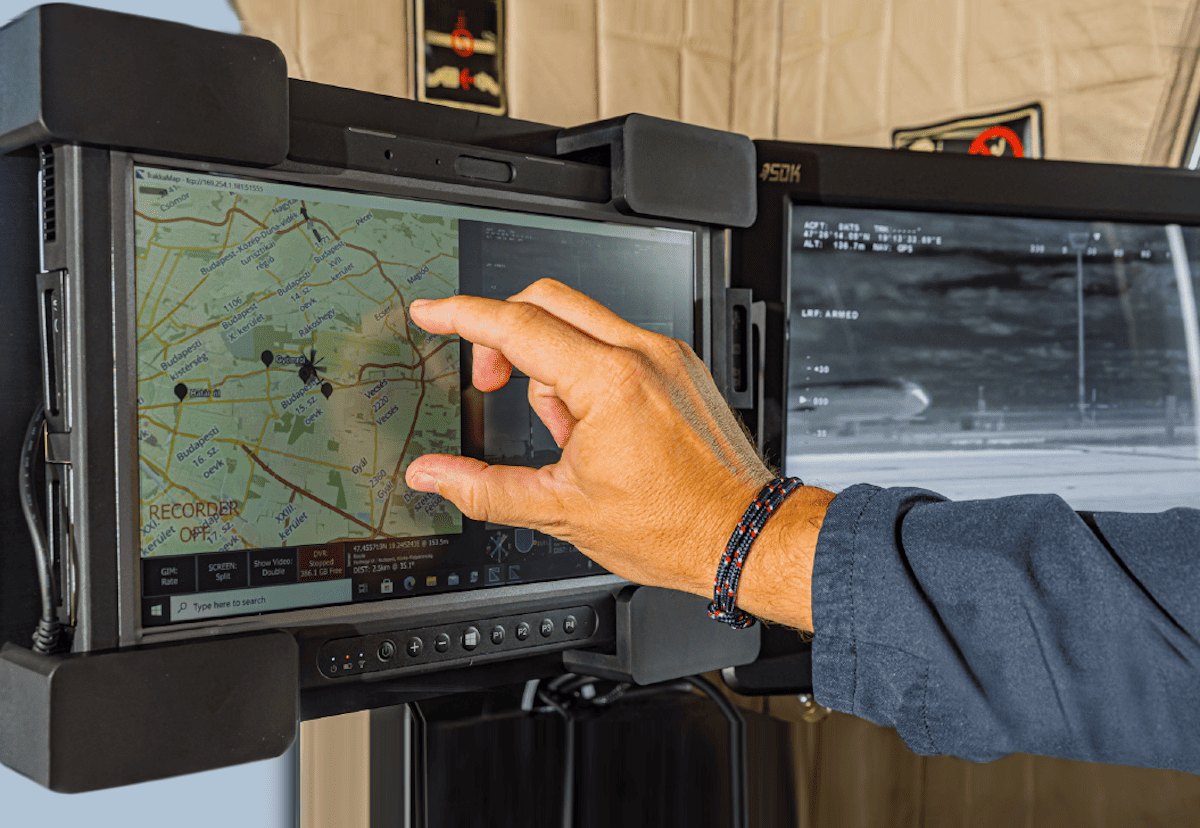
With highly intuitive touchscreen controls, the versatile software provides tools for mission planning, recording, analysis and reporting. Full-featured mapping capabilities include a variety of different map views, as well as augmented reality (AR) overlays of geographic information and points of interest on the live video display.
The TrakkaMaps software has been designed with a flexible architecture that is easy to customize and can be fully integrated with open-source and proprietary databases as well as other networked information sources.
TrakkaMaps provides full plug-and-play integration with Trakka's advanced camera and searchlight systems, which can be slaved to anywhere on the map to ensure reduced workload and cognitive burden for sensor operators.


