


Delph Seismic
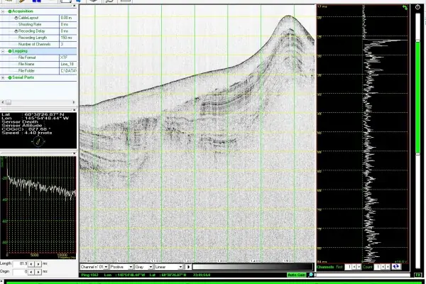
Delph Seismic is a complete acquisition, processing and interpretation software package for geologists and geophysicists, utilizing data from high-resolution seismic systems and sub-bottom profilers. It features 2D profile view and 3D geographic data visualization as well as batch processing and global QC.
Features
- Uses data from all analog seismic sources & digital sub-bottom profilers
- Quality control indicators
- Master/slave acquisition modes
- Easy interfacing to navigation data
- Raw data logging to XTF and SEGY
- Global profile display with zoom and pan
- Extensive data processing library
- Complete vertical data correction
- Processed data available in SEGY
- Batch data processing
- Complete data interpretation tools
- Automatic seabed and horizon tracking
- Ground-Truthing (Core Logs) 2D/3D data integration


