


Drone LiDAR
Discover cutting-edge solutions from 4 leading global suppliers
The Fullerton Drone Lab at Fullerton College has established a long-term partnership with the Orange County Fire Authority (OCFA) to enhance public safety, wildfire recovery efforts, and student workforce development through drone-based LiDAR scanning and data analysis.
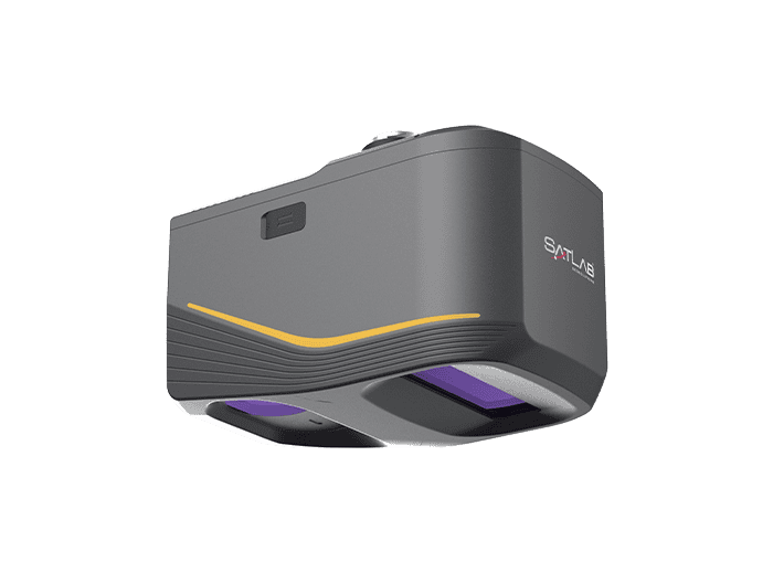
The first project in this partnership involves LiDAR scanning of the 2024 Airport Fire burn scar, which consumed over 23,500 acres across Orange and Riverside counties in September 2024. The Fullerton Drone Lab team is capturing high-resolution 3D terrain data to assist OCFA in evaluating post-fire conditions, erosion risk, and vegetation recovery.
Jay Seidel, Professor and Director of the Fullerton Drone Lab, commented, “This collaboration lets our students apply classroom knowledge to real-world problems while helping improve the safety and resilience of their own communities. It’s exactly the kind of hands-on, community-focused experience that defines our drone and autonomous systems programs.”
The LiDAR project is part of Fullerton College’s National Science Foundation grant for LiDAR Technician Training, designed to expand workforce pathways in advanced drone applications such as surveying, environmental monitoring, and infrastructure inspection.
Future collaboration efforts will involve expanded LiDAR scanning missions, photogrammetry mapping, and environmental change detection to support fire prevention, response, and recovery across Southern California.
This partnership builds on Fullerton College’s national leadership in drone and autonomous systems education. The Fullerton Drone Lab created the first Drone Piloting Registered Apprenticeship in the United States and is launching California’s first Bachelor of Science degree in Drone and Autonomous Systems in 2026. These pioneering programs, along with partnerships like OCFA, set a model for integrating education, technology, and community service.
The Fullerton Drone Lab has established itself as a leader in national drone education and workforce development, training hundreds of students in aerial imaging, LiDAR acquisition, and autonomous systems operations. This collaboration strengthens its dedication to community service, advanced research, and preparing students for high-demand careers in drone and data technology.


