


Public Safety Drones
Discover cutting-edge solutions from 12 leading global suppliers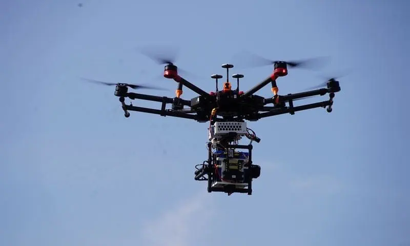
As a research project between VTT Technical Research Centre of Finland and New York University Tandon School of Engineering, AERIAL aims to push the boundaries of drone technology to enhance urban safety and emergency response.
The innovative channel measurement system enables developing real-time high data rate communication between drones and ground robots, which can help paramedics, firefighters and police officers save lives.
The three-year AERIAL research project, ending in December 2024, focuses on millimetre-wave (mmWave) wireless communication between Unmanned Aerial Systems (UAS) and ground units, such as cars or robots.
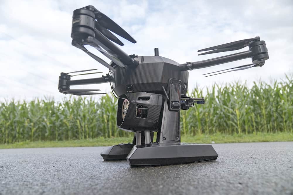
The project’s main achievement is the establishment and utilisation of a UAS-based mmWave channel measurement system, as well as the development of relevant channel models, which serve as the foundation for any wireless system design.
Drones and robotic technology could significantly improve emergency response systems in other ways too, according to the researchers. Dronescan provide a quick aerial view of a fire or natural disaster site, helping firefighters and first responders make faster, more informed decisions.
VTT contributed to this collaborative project with its world-class knowledge and research capabilities in drone hardware and system development. VTT’s role involved designing and developing the hardware integrated into the drone.
NYU Tandon focused on developing software for the UAS-based measurement system, simulation and creating accurate channel models by analysing empirical data.
NYU Tandon Electrical and Computer Engineering Professor Sundeep Rangan, who is also the associate director of NYU WIRELESS research center, commented, “Communication with drones involves several technical challenges, such as signal propagation and system compactness issues.”
Senior Scientist at VTT Vasilii Semkin added, “By studying how radio signals behave in urban environments, we can improve the communication between drones and other emergency vehicles.
“For example, drones could fly ahead of ambulances, analyse traffic in real-time and provide data to reroute emergency vehicles, helping them avoid congestion. In emergencies, delays of just 1–10 minutes can be critical.”
The scenarios mentioned above are made possible by custom software and a channel measurement system designed by the project team. Once the communication between UAS and ground vehicles is established, artificial intelligence can significantly enhance urban safety monitoring by making drones more autonomous and efficient in complex environments.
Although the project will end in December 2024, extensive simulations and further development are required before the results can be widely implemented in commercial applications.
Semkin continued, “Our achievement is especially significant given the size, weight, and power limitations of flying vehicles. We have developed a unique measurement system that operates at mmWave frequencies and is integrated into UAS.
“The extensive data collection efforts allow us to develop communication models that could eventually become international standards.
“Our research has established the foundation for future innovations, but we still need to collect more data and fine-tune the models before the system can be commercially deployed. Global standards and regulations are required before widespread adoption becomes possible.”


