


Drone Communications
Discover cutting-edge solutions from 24 leading global suppliersHeimdall AI is a leading developer of satellite telemetry and AI-powered image processing systems for UAVs (unmanned aerial vehicles). UST is delighted to work with Heimdall AI as a supplier partner, and we will be highlighting their unique solutions and capabilities across our channels.
Heimdall’s UST supplier profile has been written and built by our team in collaboration with the company. The Gold profile highlights how their products are designed to enable the next generation of BVLOS (beyond visual line of sight) and automated drone missions in civilian and military applications such as mapping, inspection, SAR (search and rescue), and surveillance.
Read on to find out more:
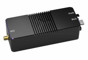
The datalink system is made up of a drone telemetry module and a ground module, and features dual-antenna architecture for enhanced path diversity. Micro Sat provides seamless compatibility with the MAVLink protocol and leading commercial autopilots such as Pixhawk.
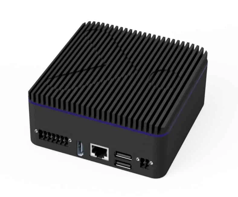
The drone AI object detection unit also features a proprietary image compression system designed for efficient transmission of 4K pictures via SATCOM datalink.
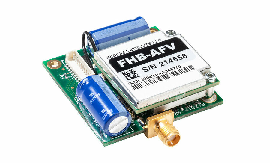
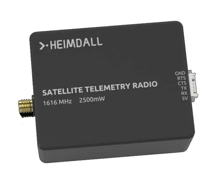
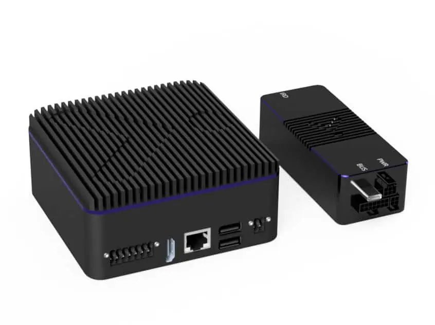
 The Sender Unit is a compact and lightweight satellite telemetry module utilizing the Iridium SATCOM network. It provides bidirectional data rates of up to 2.4 Kb/s.
The drone telemetry module is compatible with the AI object detection unit, and is ideal for transmitting images and data post-compression.
The package combines Heimdall’s Sender and AI Units, providing the ability to detect and track objects, process and compress camera input, and transmit images at up to 2.4 Kb/s. The BVLOS Mapping Combo also includes our proprietary ground software for map generation and object detection display.
To find out more about Heimdall AI and their satellite telemetry and AI-powered image processing systems for BVLOS drones, please visit their profile page: https://www.unmannedsystemstechnology.com/company/heimdall-ai/


