


LiDAR Sensors & Scanners
Discover cutting-edge solutions from 4 leading global suppliers
SUPPLIER SPOTLIGHT
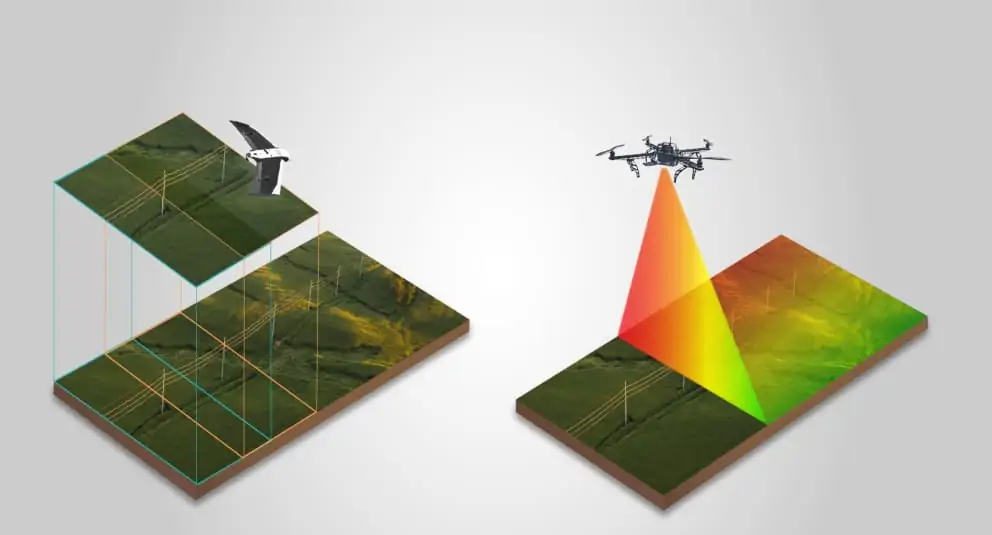
Scopito has released an article comparing the use of photogrammetry and LiDAR when performing encroachment surveying with UAVs (unmanned aerial vehicles). LiDAR has typically been the technology of choice for accurately mapping vegetation growth along power lines, however in recent years photogrammetry technology has evolved to become more viable.
Read the full article on Scopito’s website
The article covers:
- A comparison of relevant metrics, such as cost, accuracy and time, for photogrammetry and LiDAR
- Details of and results from a proof-of-concept project in which a stretch of powerline was surveyed and the photos processed using photogrammetry
- Excerpts from a paper published in the Electric Power Systems Research journal that discusses the use of LiDAR for vegetation encroachment monitoring along transmission lines
The article concludes that when comparing price, time and accuracy between the two methods, photogrammetry can be a viable replacement for LiDAR, and the right choice for a specific project will depend on the requirements of that project. To find out more, read the full article on Scopito’s website.


