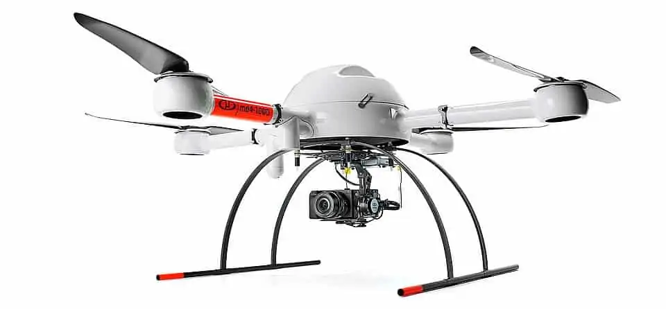
Microdrones’ UAS (unmanned aerial system) solutions for mapping and surveying are now being offered in Spain by STAEREA, a specialist provider of drone aerial photogrammetry and remote sensing solutions. The company focuses on precision agriculture and topography, using drones to capture terrain variability, perform 3D modeling, and measure and investigate the morphology of soils. They also use drone photogrammetry to create agronomic information indices such as NDVI, OSAVI, NDRE, DSM, NIR reflectance and CIR and RGB composites.
STAEREA will distribute Microdrones Integrated Systems, which are complete UAS mapping and surveying solutions consisting of a multirotor drone, specialised payloads such as LiDAR sensors and high-resolution cameras, data processing modules adapted to the particular solution, and Microdrones proprietary mdCockpit mission planning and control software. The Microdrones products complement STAEREA’s emphasis on precision, quality and efficiency, and will enable customers to collect data efficiently and safely while cutting costs and saving time.
Joaquín Peregrín Cegarra, Administrator and drone pilot at STAEREA, commented: “Our main objective is to provide our clients with the best services and products on the market. Microdrones is a prestigious company that provides our clients with a higher level of technology to enable them to be more precise in their mapping. We especially see an opportunity for our customers to utilize mdLiDAR to quickly and efficiently gather more accurate data.”


