


Discover World-Leading Unmanned and Autonomous Technologies
Discover cutting-edge solutions from leading global suppliers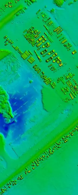
Originally developed for large-format camera systems and satellite imagery, Correlator3D™ brings the precision of traditional mapping to UAV platforms. In addition to higher accuracies, the software offers numerous advantages compared to common UAV tools, which are designed for 3D modeling instead of precise mapping. These include the capability to process unlimited number of images at significantly higher speeds, as well as handling the most challenging projects.
“We are very proud to offer a real photogrammetry tool at such low price” said Dr Philippe Simard, President of SimActive. “Correlator3D™ allows our clients to perform high precision mapping using UAVs, without compromising profitability on their projects.”


