Below, Intelligent Energy discusses how hydrogen fuel cell technology is reshaping UAV-based mapping and surveying. By enabling longer flight durations, rapid refuelling, and greater operational efficiency, fuel cell-powered drones are helping survey teams overcome the limitations of conventional battery-powered platforms.
Fuel cell-powered UAVs have emerged as a highly efficient alternative to traditional battery systems for modern mapping and surveying operations.
Mapping and surveying missions rely heavily on time in the air, with productivity dictated by how efficiently a drone can fly, collect data, and stay operational. For many surveyors, battery-powered UAVs have introduced unavoidable downtime due to frequent landings, battery changes, and long recharge cycles that interrupt missions and fragment data sets. Hydrogen fuel cell systems have addressed these challenges by delivering extended range, rapid refuelling, and fewer landings to help teams reduce downtime and maximise data capture per flight.
The limitations of battery power have frequently resulted in short flight windows that break long survey routes into multiple sorties, creating fragmented datasets that require more post-processing. In large-area or remote surveys, this downtime has increased labour costs, extended project timelines, and reduced the inherent efficiency advantages of drone technology over traditional surveying methods.
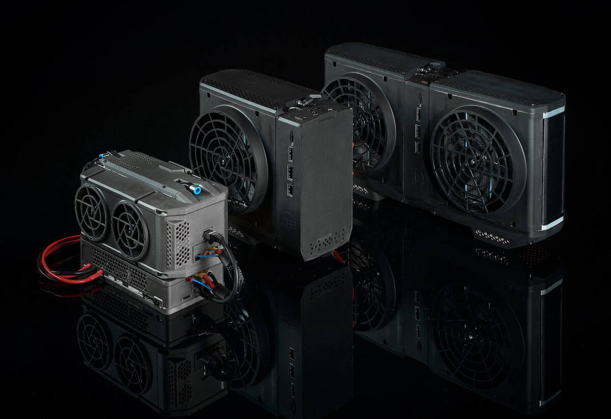
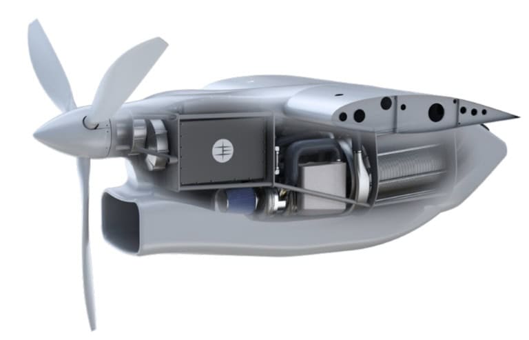
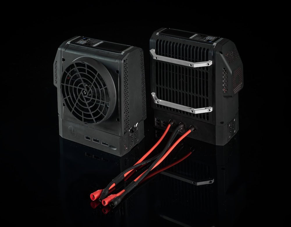
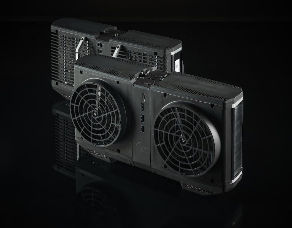
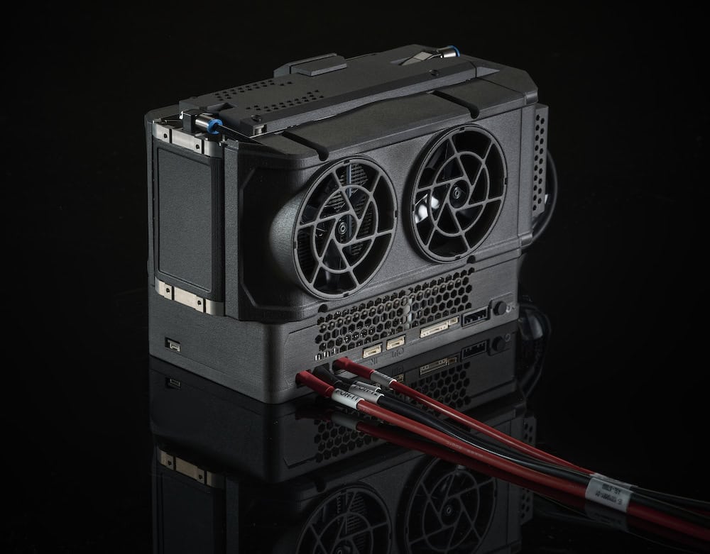
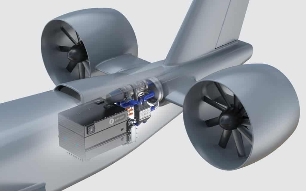
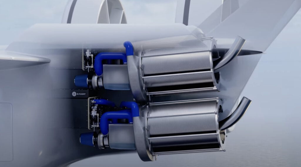
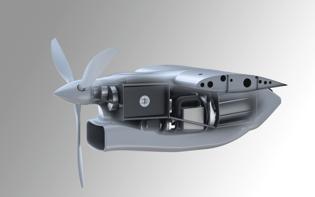
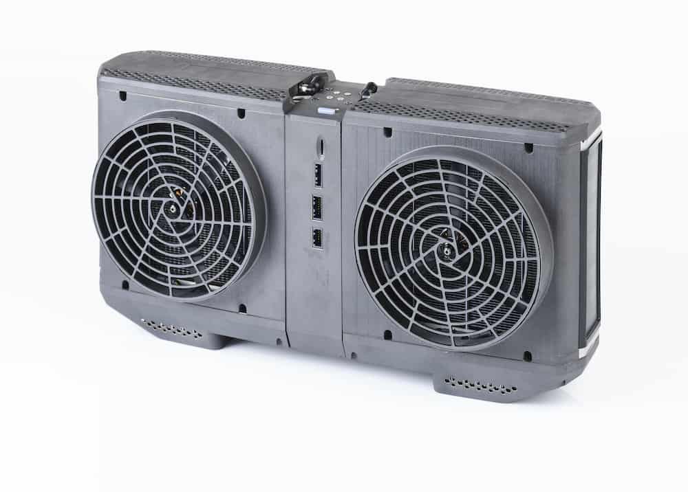
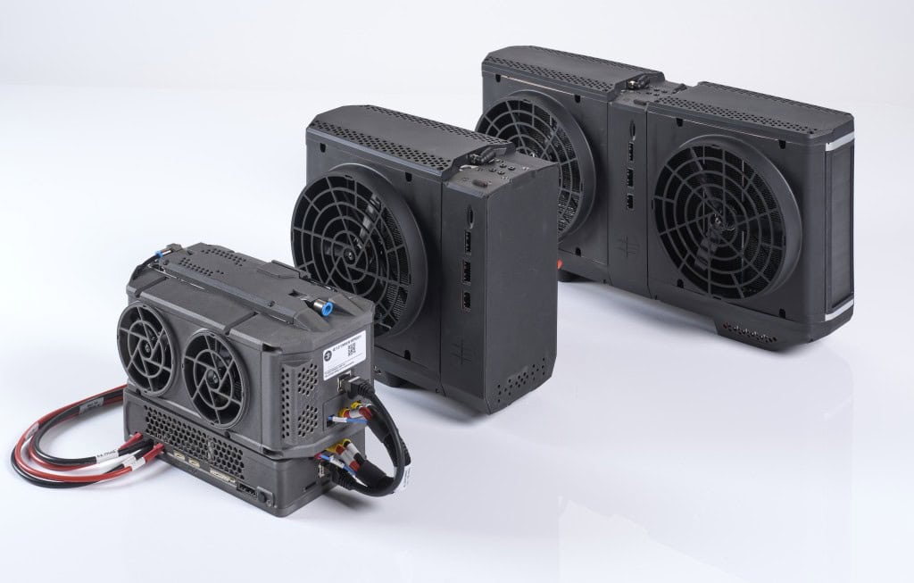
IE-FLIGHT F300 Fuel Cell from Intelligent Energy.
Because hydrogen fuel cells offer significantly higher energy density compared to batteries, they have enabled much longer flight times even when carrying professional mapping and surveying payloads such as LiDAR, photogrammetry cameras, or multispectral sensors. This extended range has allowed operators to survey larger areas without interruption and complete long, linear mapping missions in a single continuous flight. Consequently, operators have been able to plan surveys around the actual asset or area being mapped rather than around battery constraints.
Furthermore, hydrogen fuel cell systems can be refuelled in minutes, allowing survey teams to return to the air quickly and maintain momentum. This quick refuelling has delivered immediate operational impacts, including more predictable daily flight schedules and higher utilisation of UAV platforms and crews.
Fewer, longer flights have also improved data quality. Disruption has been mitigated through reduced pilot workload, fewer opportunities for error, and the collection of more continuous datasets with fewer gaps or overlaps. For applications such as corridor mapping, topographic surveying, or large-area site mapping, continuous flight has improved consistency and reduced post-processing effort.
Ultimately, fuel cells have allowed surveying teams to focus on capturing accurate, high-quality data over large areas in less time. As the industry continues to push towards larger projects, remote environments, and tighter timelines, the adoption of fuel cell power has proven to be an essential method for achieving critical operational efficiency.