


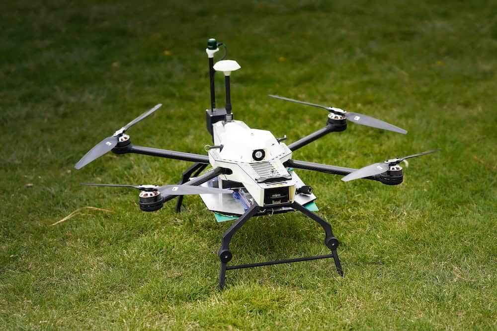
Inspection Drones
Discover cutting-edge solutions from 30 leading global suppliers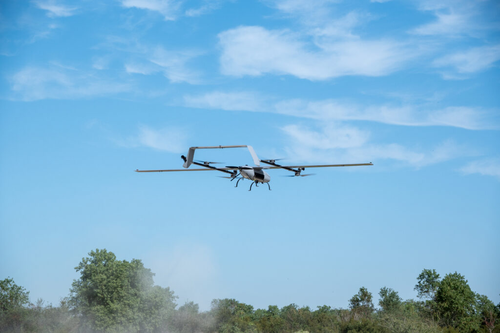
Event 38 Unmanned Systems, a prominent U.S.-based producer of mapping drones, has completed a BVLOS (Beyond Visual Line of Sight) demonstration for pipeline patrol using the E455, the company’s largest fixed-wing vertical takeoff and landing (VTOL) drone.
The E455 covered 320 miles in just under 7.6 hours of flight time. Phoenix Air Unmanned (PAU), a drone service provider specializing in aerial inspections and surveillance for utility sectors, conducted the demonstration.
This test aimed to validate PAU’s ability to patrol a 300-mile stretch of pipeline, owned by Shell Pipeline Corporation, in a single day using drone technology.
Will Wheeler, Phoenix Air Unmanned Director of Operations, said, “We woke up to a two-hour delay with fog, so we crossed the 300-mile mark at noon on the second day. But our goal was achieved within a day of flying time, so it was a success.”
In preparation for the demo, Event 38 trained a group of six PAU pilots over three days and successfully integrated the E455 into PAU’s operational command stations in less than a week. The demonstration was carried out the following week.
Wheeler credits much of the demo’s success to the user-friendly design of the E455, saying, “Ease of use and reliability is a big deal for us. We have the foundational knowledge of how to execute BVLOS flights at scale, however we had never flown the E455 before. We received training, the E455 was integrated, and then we were out there doing 300 miles. What will we be capable of once our whole crew has experience with this platform and it’s truly integrated into our workflow? It’s repeatable and scalable.”
For the trial, the E455 was equipped with an Iris Casia 3-camera system, essential for BVLOS operations, two backup radio links, and an ADS-B receiver, in addition to the standard live gimbaled camera. Three ground control vans facilitated smooth BVLOS communications, ensuring efficient operations, with continuous live video streaming from the drone’s onboard cameras. The E455’s bonded radio system maintained a stable connection with PAU throughout the mission.
Despite the complex setup required for BVLOS missions, the E455 demonstrated an impressive 60-minute flight time on a single charge with all necessary equipment. In standard configurations, it can fly for over two hours on one charge and, under ideal conditions, can achieve speeds of up to 50 miles per hour.
Mathew Wright, Event 38 VP of Engineering and Operations, added, “We are incredibly proud of what PAU accomplished with the E455. This demo was an excellent opportunity for us to learn more about how the E455 operates in real-world scenarios and make some other modifications that will translate to a better user experience going forward.”


