


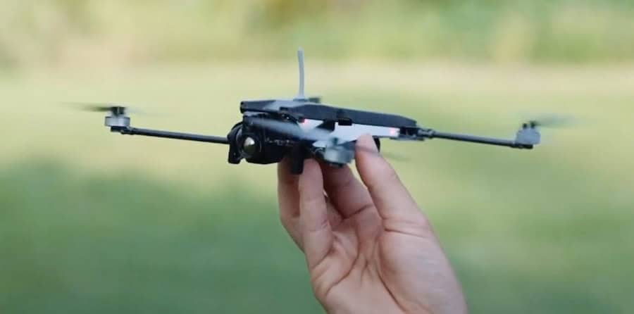
First Responder Drones
Discover cutting-edge solutions from 11 leading global suppliers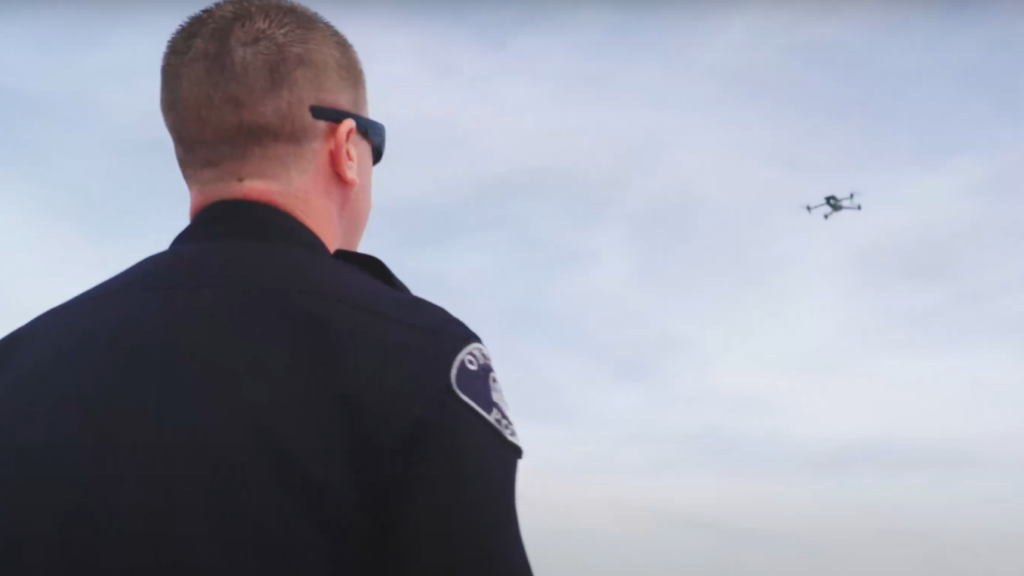
Police and fire departments across the country are embracing drone technology to create safer communities and respond more quickly to emergencies.
Drones provide invaluable situational awareness that increases officer safety and can make all the difference in an emergency where seconds matter. Sgt. Patrick Woolweaver of the Ontario Police Department explained; “If you look at agencies that that have established their programs, they’re running anywhere from 60 to 90 seconds to having eyes on any given scene. That’s what we see with our DFR program. Getting eyes on early. Letting our officers in the field have access to that video. That enables them to know exactly what they’re stepping into, giving them the information so they can make better decisions when they arrive on scene. And be safer.”
Both departments are leveraging Airspace Link’s AirHub® Portal to streamline airspace intelligence and support safe flight planning for their drone operations. “It’s really important that UAS operators know the rules and the regulations that they have to adhere to. Whether you’re flying under Section 44809 as a recreational pilot, or whether you’re Part 107 as a commercial pilot or whether you’re a Part 107 public safety pilot or all of the above, you have to know the airspace that you’re operating in to keep everybody safe–but also to keep you out of trouble,” Sgt. Robertson said.
Sgt. Robertson added; “Airspace Link provides a platform where we’re able to easily pull up the UAS facility maps, easily view flight advisories, and we’re also able to view the pending TFRs, or temporary flight restrictions, related to our stadium district. So it’s critical that the public understands that the UAS facility maps are mandatory, and you should refer to them any time before you put an aircraft in the air.”
With the police drone use often running out front of other city departments, there’s also an opportunity for police aviation units to expand beyond into other areas of community support, using their drones to support all municipal divisions, “we want to fly and do inspections at parks, water mains, buildings – anything our drones can assist with.”
“With our drone as first responder program, we put the word out to all the city agencies, parks, water, refuse, you name it, we’re there to help them,” says Ontario’s Sgt. Woolweaver. “In our downtime when we’re not responding to police calls, we want to be able to fly and do an inspection at the park. We want to fly and do a water main inspection. We want to do a flyover of a building for the building department. We want to do all of those things as part of this holistic approach to drones.”
This holistic approach among both departments has also led to a powerful partnership with Airspace Link, which works with multiple city departments as part of its FlySafe Program. AirHub® Portal has become a critical tool to streamline airspace access and flight planning for both units’ daily operations, with additional support from the Airspace Link FlySafe support team. “Airspace Link was a partner,” Sgt. Woolweaver explained. “They almost made it too easy. They had a law enforcement professional on their staff, and they were able to speak our language and work with us. Their staff is experienced with the FAA side of functions and things of that nature. We just told them kind of what we wanted and where we wanted it, and they took care of everything else.”
Sgt. Robertson agrees the partnership has been invaluable, saying; “We’ve been very impressed, especially on the receptiveness of the feedback that we provided. I really feel like Airspace Link has done everything that they can to help streamline the process for public safety pilots because when we’re dispatched and when we’re responding to an emergency, that’s when seconds matter.”
The teams aim to expand “drone as first responder” models going forward. “We want to show how effective it is for situational awareness. We want to be able to respond anywhere in the city with a drone in under 90 seconds response time where we can get eyes on scene,” Sgt. Woolweaver said. “One of our mantras is we want to be safer, and we want to be more efficient. That’s our goal. If whatever decision we make and whatever we push towards can accomplish those two things, we’re moving in the right direction.”
Just as importantly, AirHub Portal provides the flexibility public safety departments need to respond quickly and safely to emergency situations. “It’s really convenient that they provide a mobile application as well,” Sgt. Robertson explained. “Whether we’re preplanning an operation in the station and we need to use the web portal or we’re out in the field responding to an active threat or an active emergency, we have the convenience of pulling up the Web app, viewing the facility maps and planning our operation with that information.”


