


Drone Photogrammetry Software
Discover cutting-edge solutions from leading global suppliers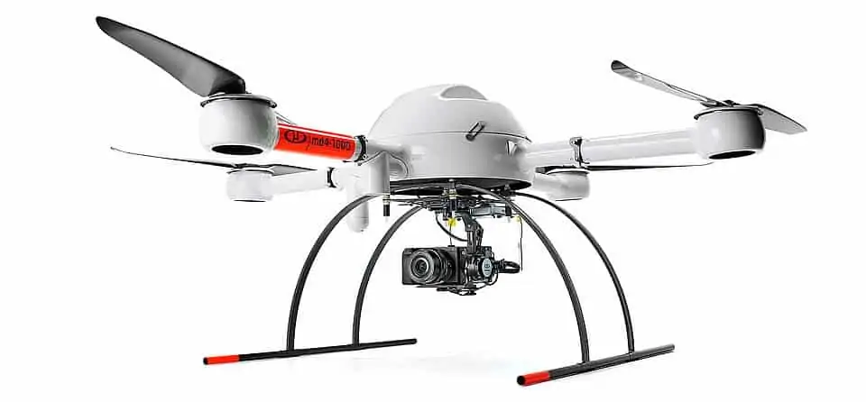
Microdrones has released a whitepaper presenting the FORMap tool from the company’s mdInfinity geospatial data processing tool for UAVs (unmanned aerial vehicles). FORMap implements a rapid and comprehensive photogrammetric workflow that allows users to transform drone images and navigation data into orthomosaics and dense point clouds.
Drone mapping systems such as Microdrones’ mdMapper1000DG can take advantage of Direct Georeferencing to achieve high levels of data accuracy without using ground control points. In post-processing, digital photogrammetry solutions extract the direct georeferenced data from the image and provide highly accurate measurements for position (latitude, longitude, altitude) and attitude (roll, pitch, heading). Many software packages can take a significant amount of time to create the final photogrammetric deliverable. FORMap can process image data in near real-time.
Download the full whitepaper from Microdrones’ website here
The whitepaper covers:
- Introduction to Direct Georeferencing and post-processing
- FORMap input and output data
- FORMap’s processing workflow
- Tests and results using two different datasets captured by a Microdrones system
FORMap can reduce the time taken to create orthophotos and DSMs (digital surface models) from 2 or 3 hours to 15 to 45 minutes, depending on the data. To find out more, download the full whitepaper from Microdrones’ website.


