New Drone Command & Control Solution Unveiled for SAR Operations

By Mike Ball / 30 Jul 2019

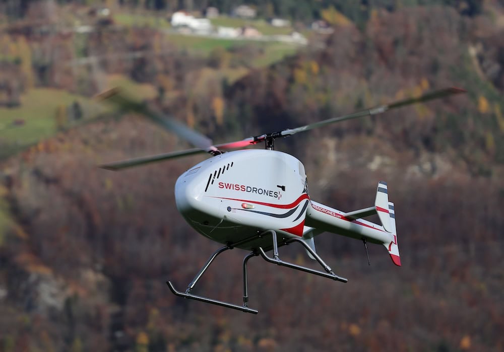
Search and Rescue Drones

Discover cutting-edge solutions from 20 leading global suppliers
SUPPLIER SPOTLIGHT
Follow UST

UgCS-CC drone command and control software

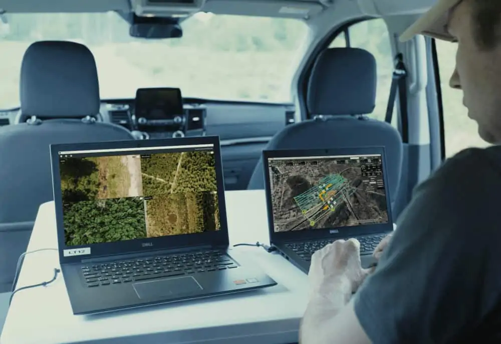
SPH Engineering, an unmanned systems software and servics provider, has announced that it has developed a new UAV (unmanned aerial vehicle) Command & Control solution, based on its UgCS drone mission-planning software, for search & rescue (SAR), police and security operations.

Urgent missions involving multiple drones often demand concerted action masterminded from a single command centre where all video streams, 3D maps, placemarks, and other incoming drone data are sent for real-time overviews, analysis, and in-depth investigation. UgCS Command & Control (UgCS CC) is a scalable solution, offering rich functionality and an intuitive interface, and tailored to manage complex SAR, investigation or surveillance operations from anywhere in the world.

SAR missions are currently the most widespread use for UgCS CC. When someone has gone missing, a mobile operation centre can be conveniently set up in a van parked near the area that is to be surveyed. The mission operator can plan flights and upload routes to the drones, while the drone pilots can set up the drones on-site and monitor the mission via a tablet screen, using the UgCS for DJI mobile app.

No heavy equipment is required when setting up a mobile operation centre — all that is needed to give the operator full control are two laptops and a router enabling the establishment of a wi-fi connection with the drones. The UgCS CC interface allows users to simultaneously view multiple video streams and a 3D map of the mission terrain with the actual coordinates of the drones. Both the operator and the pilots can manually control the drones when needed, as well as adding placemarks for particular areas with attached geolocation and images for a more in-depth inspection.

“In situations when every second counts, you need technology you can rely on,” said Jānis Ķuze, Sales Manager at SPH Engineering. “UgCS CC is a powerful and intuitive tool that has transformed SAR routines, enabling users to better plan and run the missions with limited resources.”

In addition to SAR missions, UgCS CC can also be used for police investigations and other law enforcement activities, as well as disaster response operations and various security surveillance scenarios — from dispatching alarm-triggered drones to supervising regular drone patrols over vast areas.

The software comes in two versions: the Team Edition, for quick-to-deploy mobile operation centres fit for any environment; and the Enterprise Solution, for stationery command centres with advanced data security requirements. Both versions support a wide range of popular drone models from diverse producers and can be easily integrated into existing infrastructure.

Posted by Mike Ball Mike Ball is our resident technical editor here at Unmanned Systems Technology. Combining his passion for teaching, advanced engineering and all things unmanned, Mike keeps a watchful eye over everything related to the unmanned technical sector. With over 10 years’ experience in the unmanned field and a degree in engineering, Mike’s been heading up our technical team here for the last 8 years. Connect & Contact

Latest Articles

High-Energy Density Batteries for Drones & Robotic Vehicles

The SCIO Brick® platform offers industry-leading energy density in a compact and lightweight footprint, and can be scaled to meet high-voltage requirements

Jul 12, 2025
Most Read Articles on UST This Week

Here’s our round-up of the five most read articles on UnmannedSystemsTechnology.com this week

Jul 11, 2025
Vertiq Speed Firmware v0.1.1 Now Available with Bug Fixes

Vertiq has released firmware v0.1.1 to correct a parameter bug affecting telemetry and 3D mode settings on select G1 and G2 modules

Jul 11, 2025
The Role of ROVs in Unmanned Marine Operations

Oceanbotics has answered the most common questions about ROVs, covering how they work, where they're used, and key capabilities

Jul 11, 2025
LiveU File Transfer Speeds Up Drone Data Delivery for Critical Missions

LiveU’s File Transfer enables rapid transmission of large drone data files, reducing delays and supporting faster decision-making in public safety and infrastructure operations.

Jul 11, 2025
Exploring Differences Between M9PLUS & M9 GNSS Antennas

Discover the key upgrades in Maxtena’s new M9PLUS GNSS antenna, including improved performance, signal purity, and multipath mitigation over the original M9

Jul 11, 2025

Featured Content

USAF Uses Inertial Labs Drone Lidar for Tree Obstruction Survey

The US Air Force successfully used Inertial Labs drone Lidar and cloud software to quickly map tree obstructions at Joint Base Lewis-McChord (JBLM), improving airfield safety

Jul 11, 2025
New UAV to Combine Solar Hydrogen & Battery Power for Extended Flight

XSun and H3 Dynamics are developing the first UAV powered by solar, hydrogen, and batteries, aiming to deliver zero-emission, long-endurance unmanned flight

Jul 07, 2025
Enhancing Mangrove Restoration Through 3D Printed Drone Design

Explore how Inverto Earth, in collaboration with HP Additive, is using sustainable 3D printing and drone technology to drive large-scale mangrove restoration and protect vulnerable coastal ecosystems

Jul 03, 2025
Advancing Unmanned Systems Through Strategic Collaboration UST works with major OEMs to foster collaboration and increase engagement with SMEs, to accelerate innovation and drive unmanned systems capabilities forward.