Using Trimble Post-Processed RTX (PP-RTX) for UAV Survey & Mapping

Webinar Details
  • Hosted by Applanix
  • May 19, 2021 , 10:00 (UTC)
  • ost-Processed RTX (PP-RTX) for UAV Survey and Mapping

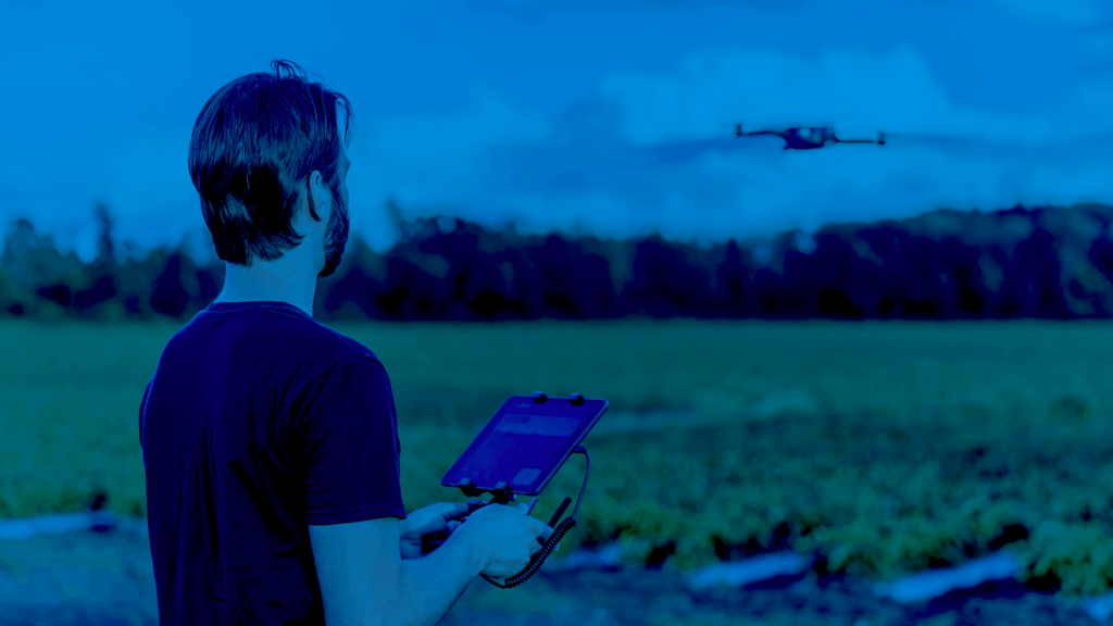
    Sometimes it is just not practical to use a physical base station to correct your UAV data to centimetre level survey-grade accuracy. This can be the case when flying long baselines, such as those with BVLOS requirements or when flying in hazardous areas where establishing ground control points may be too dangerous. The solution is to use either a Virtual Reference Station (VRS) or, even better Trimble’s global Post-Processed RTX solution (PP-RTX).

    What you can expect from part 4:

    • what is PP-RTX?
    • how does PP-RTX work?
    • best uses for PP-RTX
    • Q&A session with our experts

    Not able to attend? Register today and we will send you a recording of the webinar.


    Speakers:

    Brad Schmidt – Global UAV Sales Manager, Applanix
    Brad is a geomatics specialist with a passion for helping companies turn their UAVs into professional mapping solutions.

    Nithin Kumar – Product Support Analyst, Applanix
    Nithin is a geomatics engineer with a background in inertial and photogrammetric techniques, currently supporting Applanix UAV users.

    Posted by Caroline Rees Caroline co-founded Unmanned Systems Technology and has been at the forefront of the business ever since. With a Masters Degree in marketing Caroline has her finger on the pulse of all things unmanned and is committed to showcasing the very latest in unmanned technical innovation. Connect & Contact

    Featured Content

    Apollo & Moonrock Launch $122.5m Drone, eVTOL Insurance Facility

    Apollo and Moonrock take the lead on new $122.5m drone, eVTOL and aviation innovation insurance facility

    Apr 22, 2025
    ParaZero Unveils Advanced Parachute Recovery System

    ParaZero launches the SafeAir M4, an advanced parachute recovery system designed for the DJI Matrice 4, enhancing drone safety, compliance, and mission readiness

    Apr 17, 2025
    Compact High Resolution MWIR Zoom Lens Released for UAV & ISR Platforms

    MKS Instruments introduces the Ophir SupIR 10-135mm f/1.8 zoom lens, engineered for compact MWIR systems demanding long-range detection and high-resolution thermal imaging

    Apr 17, 2025
    Advancing Unmanned Systems Through Strategic Collaboration UST works with major OEMs to foster collaboration and increase engagement with SMEs, to accelerate innovation and drive unmanned systems capabilities forward.