How Surveying and Mapping Projects Benefit from Direct Georeferencing

Webinar Details
  • Hosted by Applanix
  • September 22, 2021 , 15:45 (UTC)
  • How Surveying and Mapping Projects Benefit from Direct Georeferencing

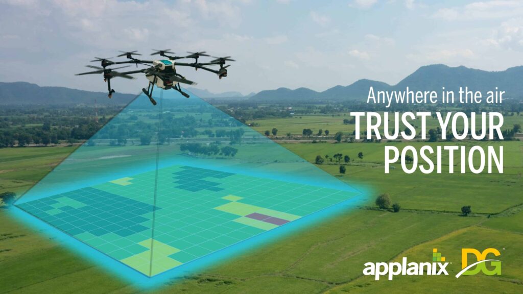
    This webinar presents best practices and new technologies for survey and mapping with uncrewed aerial vehicles (i.e. UAVs). We will look at different methods of georeferencing UAV imagery, including the advantages and disadvantages for each method. You will learn about the different techniques available for georeferencing UAV imagery and ways you can save money while not sacrificing precision and accuracy.

    Posted by Caroline Rees Caroline co-founded Unmanned Systems Technology and has been at the forefront of the business ever since. With a Masters Degree in marketing Caroline has her finger on the pulse of all things unmanned and is committed to showcasing the very latest in unmanned technical innovation. Connect
    Advancing Unmanned Systems Through Strategic Collaboration UST works with major OEMs to foster collaboration and increase engagement with SMEs, to accelerate innovation and drive unmanned systems capabilities forward.