Advanced settings for challenged GNSS urban environment – autonomous navigation and land survey

Webinar Details
  • Hosted by
  • June 17, 2020 , 09:15 (UTC)
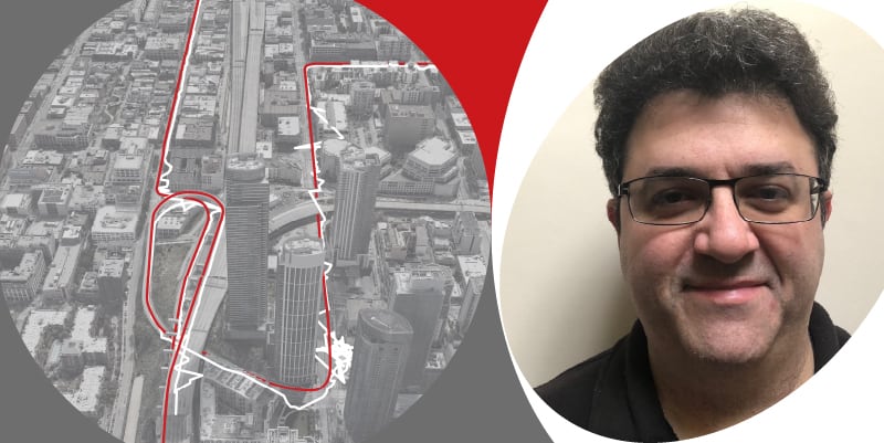
  • Join Sam Souliman, Senior Support Engineer at OxTS, to learn how best to configure an OxTS Inertial Navigation System (INS) in challenging urban environments.

    This is an advanced session for experienced NAVconfig users. If you are less experienced with how an OxTS INS device works, we recommend you attend the Introduction to OxTS’ Inertial Navigation Systems and Introduction to NAVconfig sessions before attending this one.

    This session will cover the:

    • Importance of advanced slip setting
    • Importance of GNSS related settings: GNSS weighting,
    • GNSS control mode, GNSS recovery
    • Use of SBAS NTRIP RINEX corrections
    • Use of WSS aiding generic aiding
    • Importance of accurate configuration and tight tolerances
    • Importance of tracking multiple GNSS constellations
    • Use of altitude reference.

    Please click here to register.

    Posted by Oxford Technical Solutions Connect & Contact

    Featured Content

    Vertiq’s 81-08 G2 Module Added to DIU’s Blue UAS Framework

    Vertiq's 81-08 G2 servo motor and control system for Group 2 sUAS has become the first motor and ESC combination to be approved under the U.S. government's Blue UAS Framework

    Feb 05, 2025
    Compact Remote ID Receiver Released for Enhanced Drone Safety

    Dronetag has introduced RIDER, a pocket-sized, drone-agnostic Remote ID receiver designed to improve airspace situational awareness and support commercial and public safety applications

    Jan 30, 2025
    New GCS Software Released for C100 Quadcopter

    Performance Drone Works introduces PDW CORE, a comprehensive software bundle enhancing the C100 quadcopter's capabilities with a new UI, flight simulator, mission planner, ATAK integration, and fleet management tools

    Jan 29, 2025
    Advanced Signal Mapping Tool Released for Effective UAV Flight Planning

    Elsight has launched HeatSight, a signal strength mapping tool that provides UAV operators with reliable cellular coverage data, improving flight planning efficiency and safety for BVLOS missions

    Jan 28, 2025
    Doodle Labs Unveils Mobile App for Managing Mesh Networks

    Doodle Labs is introducing the Mesh Rider® Mobile App, providing intuitive tools for managing wireless mesh networks across devices such as ground control stations (GCS) and UAVs

    Jan 23, 2025
    Advanced FOG-Based Inertial Sensing Solutions for Drones & Robotics

    Aegiverse's products feature a multi-layered architecture that combines multiple elements into a compact module, providing significant, size, weight and cost reductions

    Jan 21, 2025