


Camera / Imaging Lenses
Discover cutting-edge solutions from 7 leading global suppliers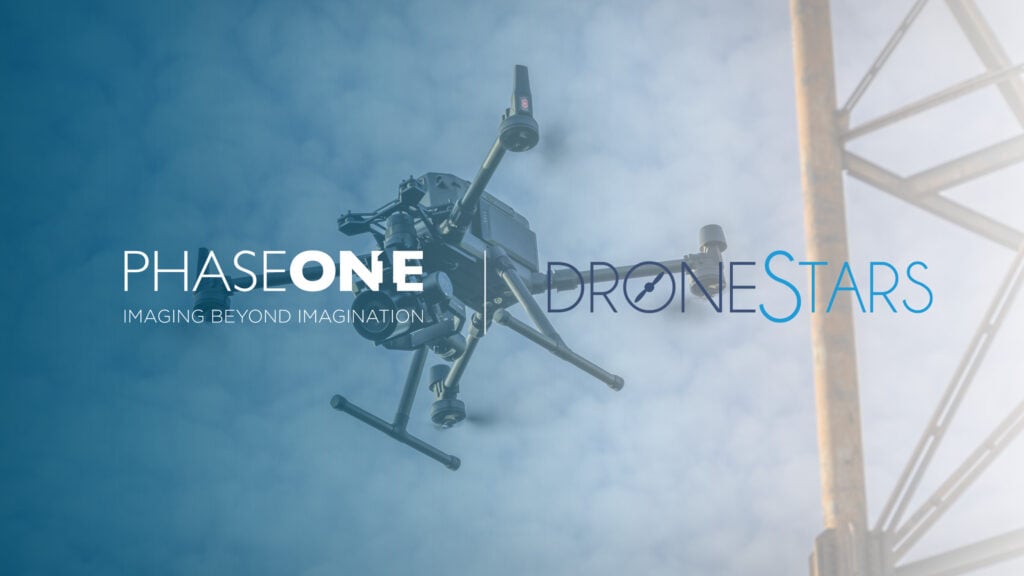
Aerial imaging for critical inspection and mapping applications is set to become more accessible across Belgium, the Netherlands, and Luxembourg, thanks to a new partnership between Phase One and DroneStars.
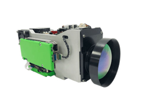
Phase One, a leader in digital imaging technology, has teamed up with the unmanned technology specialist to enhance the availability of the Phase One P3 payload in the region.
The Phase One P3 is designed to maximize the productivity of the most demanding inspection projects, where time, safety, and image detail are paramount for success. Equipped with a medium-format Phase One iXM camera, featuring a sensor 1.7 times larger than standard cameras, the P3 captures significantly more detail in every frame—even in challenging lighting conditions.
Ready for flight with DJI M300/M350 drones and integration with MAVLink-based platforms, the P3 offers seamless installation, superior data output, and uncompromised image quality. These capabilities make it an ideal solution for industries such as marine surveying, environmental monitoring, and infrastructure inspection—where high-resolution imaging is essential.
Nessim Djebar, Sales Manager EMEA at Phase One, said, “We are thrilled to partner with DroneStars to bring our Phase One P3 payload to customers in the Benelux region. This partnership represents a shared commitment to innovation and excellence, ensuring that UAV operators in the region have access to the tools they need to achieve unparalleled precision and efficiency in their inspection missions.”
Rob Tiebie, Co-Owner at DroneStars, added, “At DroneStars, we are dedicated to providing our customers with cutting-edge UAV solutions. Partnering with Phase One allows us to offer unparalleled imaging capabilities with the P3 payload to clients across the Benelux region. This collaboration aligns perfectly with our mission to empower UAV operators with the best tools to drive innovation and precision in their operations.”
By partnering with DroneStars, Phase One is ensuring that more professionals in the Benelux region can harness the power of advanced aerial imaging technology.


