


Mapping Drones
Discover cutting-edge solutions from 16 leading global suppliers
SUPPLIER SPOTLIGHT
OxTS, a developer of inertial sensing solutions for UAVs (unmanned aerial vehicles) and robotics, has announced details of an exclusive webinar taking place on the 25th of March. During the 30-minute webinar, a Product Engineer from OxTS will share experience and insights into surveying and mapping.
The webinar will specifically cover:
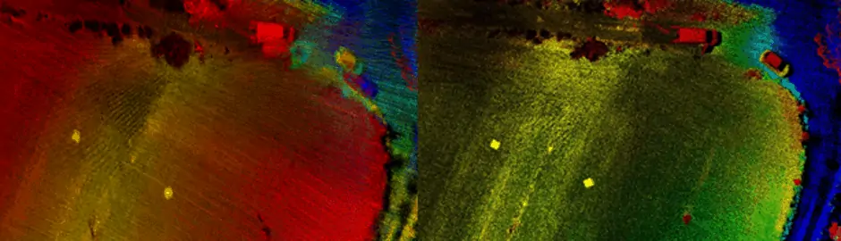
- Investigating the common problem of LiDAR boresight misalignment
- Solutions for boresight calibration
- Demo: Using OxTS’ new Georeferencer software with boresight calibration to produce a highly accurate pointcloud
There will also be a Q&A segment at the end of the webinar.
Live Webinar Date & Time: Wednesday, 25th March at 16:00 hrs (GMT) / 12:00 (EST)
Spaces are limited and registration can be done via OxTS’ website. Register here >
This is the first in a series of webinars hosted by OxTS to support their customers over the next few weeks. Details of further webinars will be announced by OxTS in the near future.


