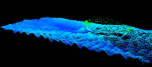
 Teledyne CARIS, a Teledyne Technologies company, has released an upgrade to their HIPS and SIPSTM software solution. The latest release is the first-ever COTS (commercial-off-the-shelf) release of an AI solution for classifying and cleaning sonar noise.
Teledyne CARIS seeks to reduce significantly the need for manual cleaning and to move data swiftly from acquisition to review. The Sonar Noise Classifier automatically identifies the vast majority of sonar noise, resulting in a reduction of manual cleaning effort by a factor of up to 10x at an accuracy of 95%. This allows the hydrographer to focus more time on other important aspects of the survey and processing workflow.
This new approach to clean sonar noise is powered by the CARIS Mira AI engine, a new cloud-based platform to host current and future AI solutions. CARIS Mira AI also provides a flexible package capable of scaling with data processing needs. All data directed to the CARIS Mira AI platform is anonymized, randomized and encrypted before transmission. For additional security, no data remains stored on the cloud following the AI classification process.
“By leveraging deep learning techniques, Teledyne CARIS is poised to bring fundamental change to how sonar data is processed. The use of AI opens exciting opportunities for the future of hydrographic survey, from automated processing pipelines for crowd sourced bathymetry, to feature detection for charting,” said Karen Cove, Senior Product Manager.


