


Discover World-Leading Unmanned and Autonomous Technologies
Discover cutting-edge solutions from leading global suppliers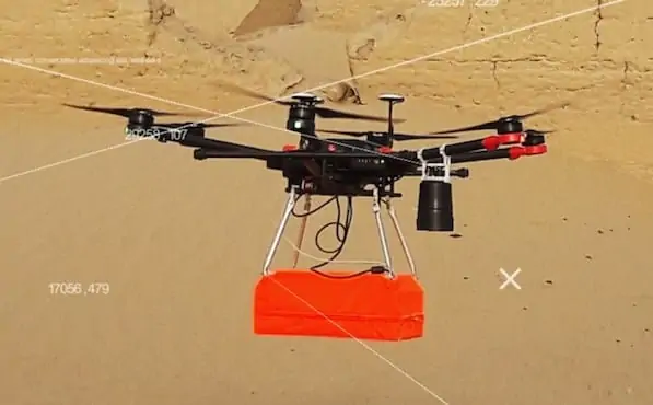
SPH Engineering has announced that it has developed a new accurate terrain following solution for unmanned aerial systems (UAS) that removes the need to rely on map data. With the help of a proprietary data logger and a laser altimeter, the new solution solves the problem of how to follow terrain without compromising effectiveness and precision.
The new integrated solution is especially significant for inspections, mining, engineering, agriculture and environmental industries where ground penetrating radars or analysers are used or where being able to fly over objects at a particular height is crucially important for other reasons. As this usually requires flying above the ground at a very precise height, rough estimates are not good enough. Previously, digital elevation model (DEM) data was essential for this process; however, this is often not available for a given region or is not sufficiently accurate. For example, if a drone with a ground-penetrating radar needs to be flown at a height of one metre, but the precision of the available data is three metres, the data is of no use for this purpose.
However, having too much information can be as problematic as having too little. Modern LiDARs can create extremely accurate terrain maps by providing a precision level of up to one centimetre. However, for drone mission planning, this would mean including too many waypoints. If the waypoints need to be loaded onto the drone in batches of no more than 99 at a time, following a LiDAR-mapped area of terrain with the necessary precision would involve flying over the area time and time again.
SPH Engineering has solved both of these issues by gathering and using terrain data on the go. The laser altimeter gathers an uninterrupted data flow by measuring the flight time of a short flash of infrared laser light as it bounces back off the surface of the terrain, while the UgCS data logger adjusts the drone flight height accordingly. As it uses actual and not pre-existing data, the mode is called True Terrain Following.
The new solution, together with SPH’s UgCS ground control software, allows for hassle-free drone mission planning with uncompromised flight height precision. The operator only needs to set the desired flight height and speed, and activate the True Terrain Following mode. The function is currently available for DJI M600/M600 Pro drones and can also be used with custom drones based on the DJI A3 autopilot.
Watch a video about the new UAV terrain following solution below:


