Survey-Grade Drone LiDAR Sensors & AI-Based Data Processing Software

Polaris: An All-In-One Solution for Land and Sea

Webinar Details
  • Hosted by
  • April 22, 2020 - Available on Demand
  • Polaris- An All in One Solution webinar

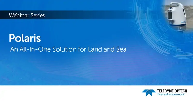
    Join Teledyne Optech for an in-depth look at how the Polaris 3D is integrated and used for coastal mapping applications. Versatile on land and sea— static and mobile— see how the Polaris delivers complete workflow solutions while complimenting on boat bathymetric survey equipment.

    Register here >

    To learn more, contact Teledyne Geospatial: Visit Website Send Message View Supplier Profile
    Posted by Teledyne Geospatial Connect & Contact
    More from Teledyne Geospatial