


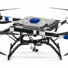
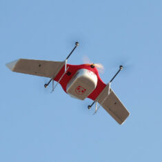
BVLOS Drones and UAVs
BVLOS (Beyond Visual Line of Sight) is a term relating to the operation of UAVs (unmanned aerial vehicles) and drones at distances outside the normal visible range of the pilot.
BVLOS drone operations provide numerous advantages over regular line-of-sight flying. They are more cost-effective and efficient, as there are fewer takeoff and landing phases, so the UAV will cover more ground in a single mission. BVLOS flights typically require less human intervention as some or all of the mission may be automated. They may also allow easier access to remote or hazardous areas.
BVLOS UAV operations carry more safety concerns due to the fact that the pilot may only be observing potential obstacles via a remote camera feed, or, in the case of automated flights, there may be no human observation at all. This means that there is additional risk of collisions with other aircraft, or damage to property and people, especially when flights take place in non-segregated airspace. BVLOS flights typically require additional equipment and extra training and certification, and are usually subject to permission from aviation authorities in many jurisdictions around the world.
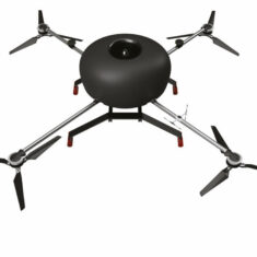
BVLOS SATCOM and Datalinks

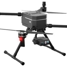
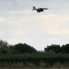
Cobham Aviator UAV 200 with BVLOS Communications
A camera providing an FPV (First-Person View) feed to a human operator may be fitted on the UAV. This requires a relatively low-power camera that does not impact greatly on the power requirements of the UAV, as well as a low-latency, high-reliability BVLOS datalink between the drone and the operator.
For autonomous operations, BVLOS drones may gather data from onboard instruments and sensors that allows them to react to changing conditions and aid their flight control. They will also typically have a long-range telemetry and command & control link with a ground control station, via radio, cellular or satellite connection.
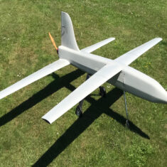
BVLOS Sense and Avoid
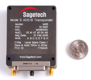
Certified ADS-B drone UAV transponder by Sagetech
Detect-and-avoid (DAA) or sense-and-avoid (SAA) capabilities are important for drones operating BVLOS, allowing them to detect nearby obstacles and air traffic and rapidly adjust their navigation accordingly. These capabilities may be provided by onboard sensors such as acoustic, LiDAR, radar or visual cameras.
BVLOS flights may be integrated more efficiently into national airspace (NAS) via implementation of unmanned traffic management (UTM) systems, which are currently in development around the world. An important component of UTMs is remote ID (RID), which allows the system to detect and keep track of both manned and unmanned aircraft at all times. One potential method of RID is ADS-B (Automatic Dependent Surveillance—Broadcast), a technology that transmits an aircraft’s position, velocity, altitude and identification.
BVLOS drones may be used for a variety of applications, including mapping, surveying, infrastructure inspection, cargo delivery, patrolling and persistent surveillance.


 Join Thousands of Unmanned Systems Professionals
Create a UST Pro account to get full website access, the weekly eBrief and exclusive event discounts.
Join Thousands of Unmanned Systems Professionals
Create a UST Pro account to get full website access, the weekly eBrief and exclusive event discounts.