

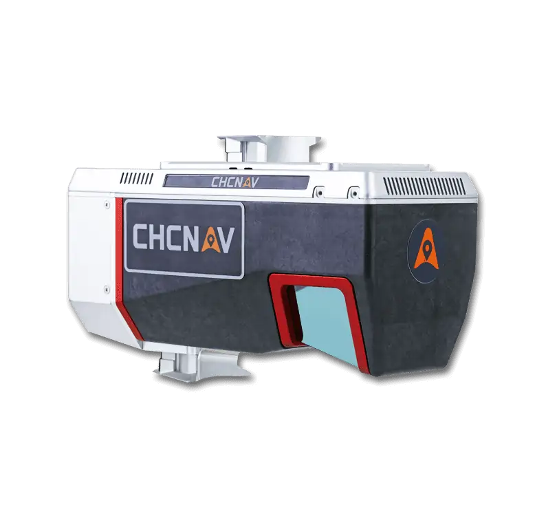

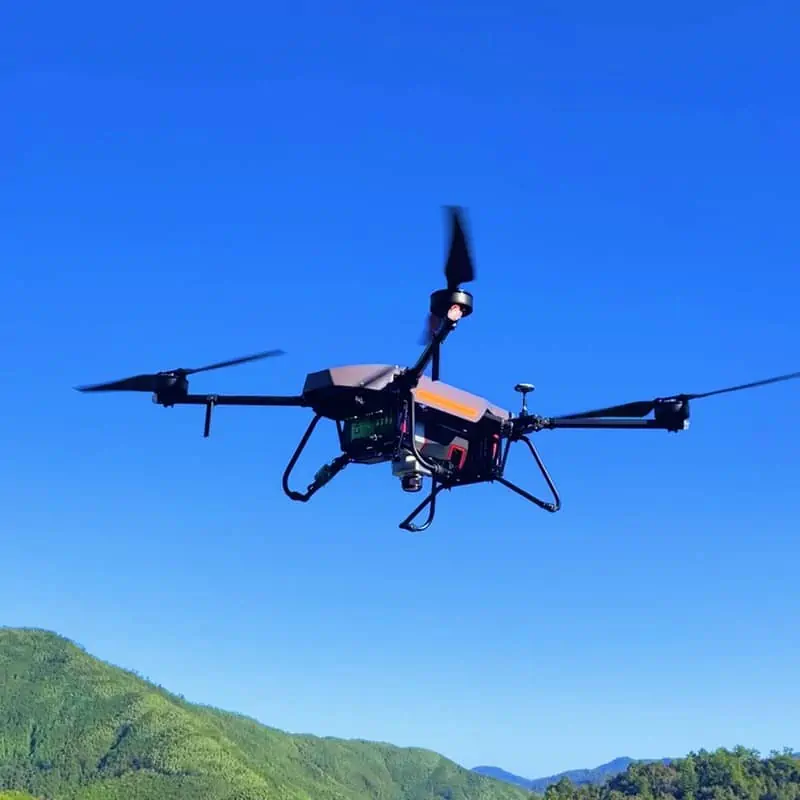
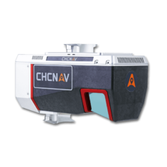
The AlphaAir 1400 is a lightweight airborne laser scanner featuring an impressive combination of weight, range, accuracy, and pulse rate. The AA1400 belongs to the Alpha LiDAR series, known for its high accuracy and data quality without compromising reliability and specifically designed for use on various UAV platforms, helicopters, or small airplanes at up to 720 m operating flight altitude.
The AA1400 system integrates a Riegl's VUX-120 with a unique forward and backward-looking field of view (FOV) designed to minimize laser shadowing and provide geometry on complex vertical structures in a single pass. In addition, the VUX-120 airborne laser scanner features a wide 100-degree field of view and a high-speed data acquisition rate of up to 1.8 MHz and a scanning range of up to 1430 meters.
The industrial-grade CHCNAV’s GNSS and high precision IMU allow the AlphaAir 1400 to provide up to 1 cm accuracy, depending on the scanning range.
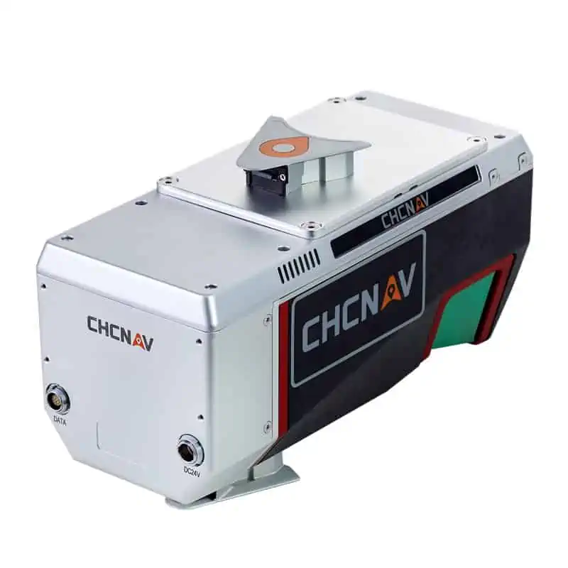
| Size | 27.0 × 11.7 × 16.7 cm 10.62" × 4.6" × 6.57" |
| Weight | 2.98 kg |
| Power Consumption | 60W |
| Absolute Accuracy | < 0.05 m RMS |
| Point density @ 10.3 m/s | 500 pts/sqm @ 120 m AGL |
| IMU accuracy (GNSS-aided) | 0.010 m RMS horizontal 0.010 m RMS vertical, 0.005 degrees RMS pitch/roll 0.010 degrees RMS heading |
| Camera | Sony A7 RII 42.4 MP, modular upgrade options |


