


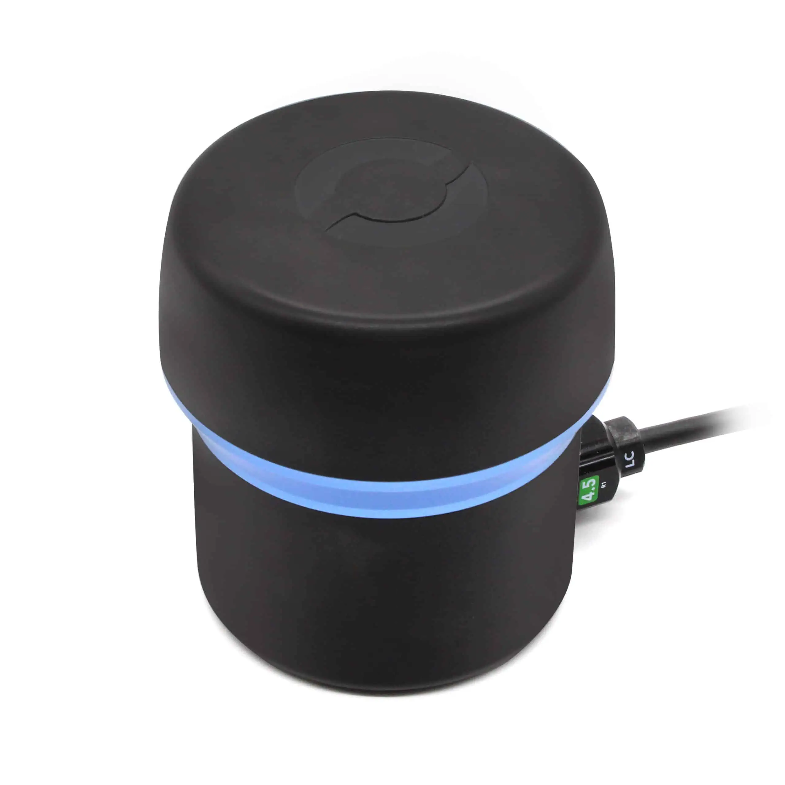
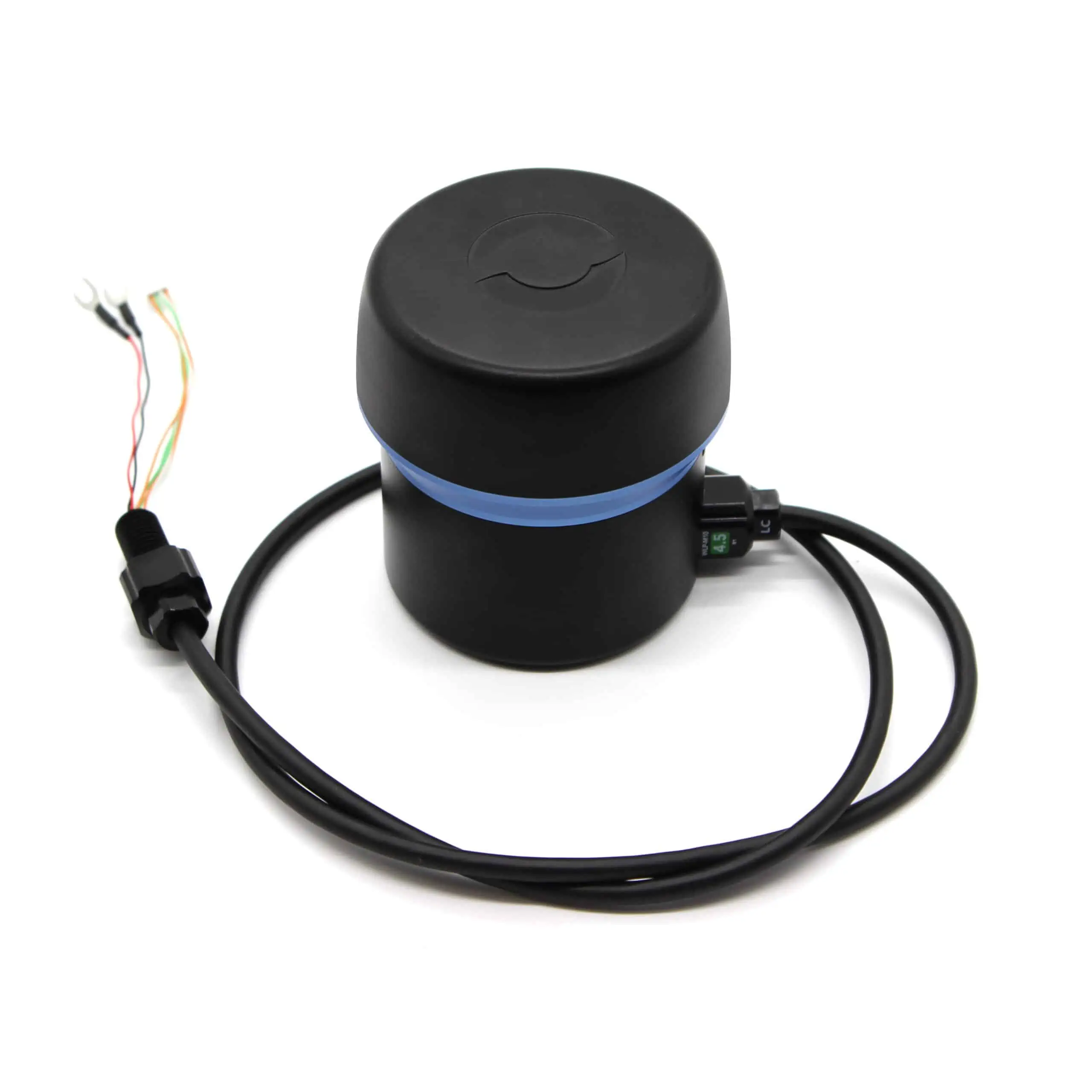
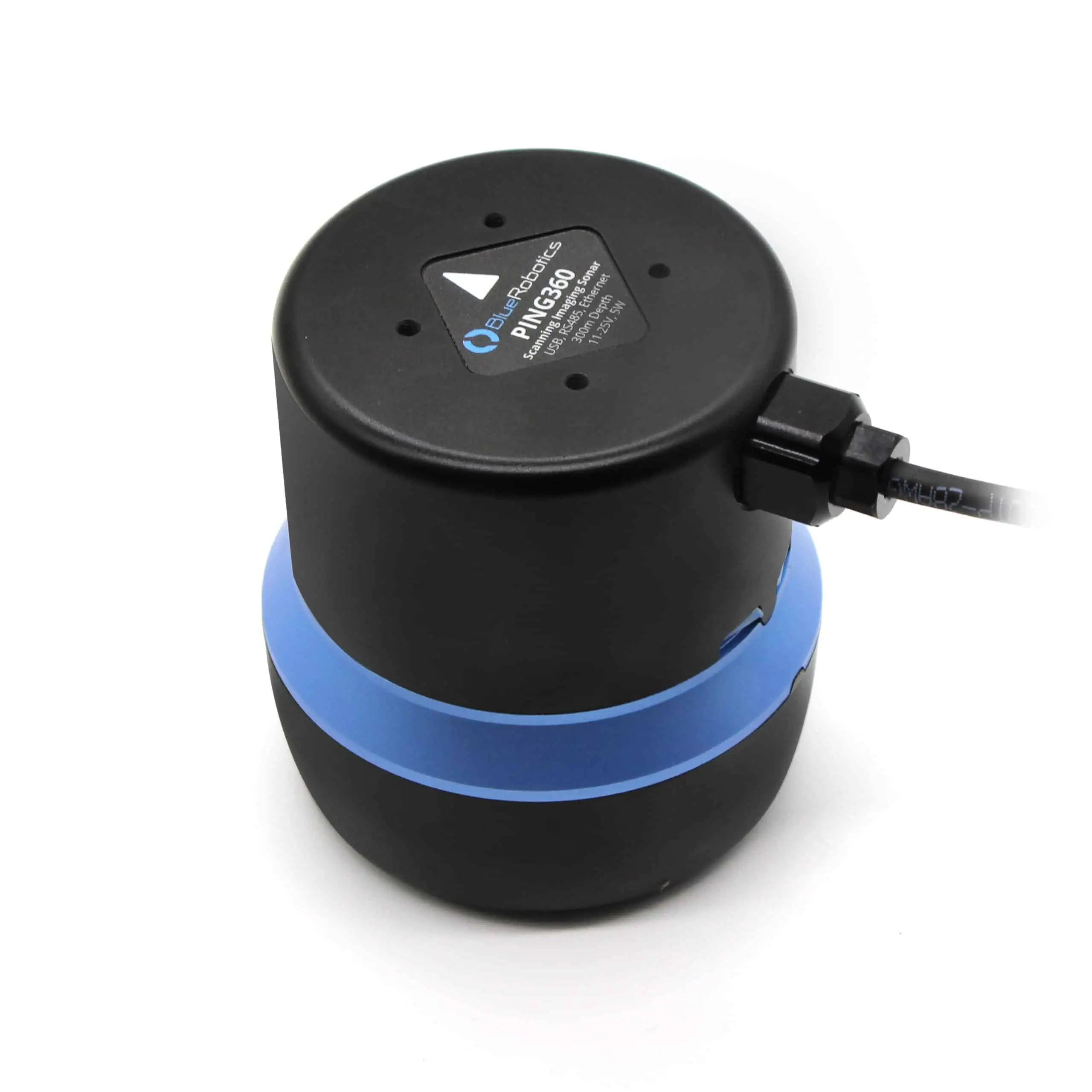
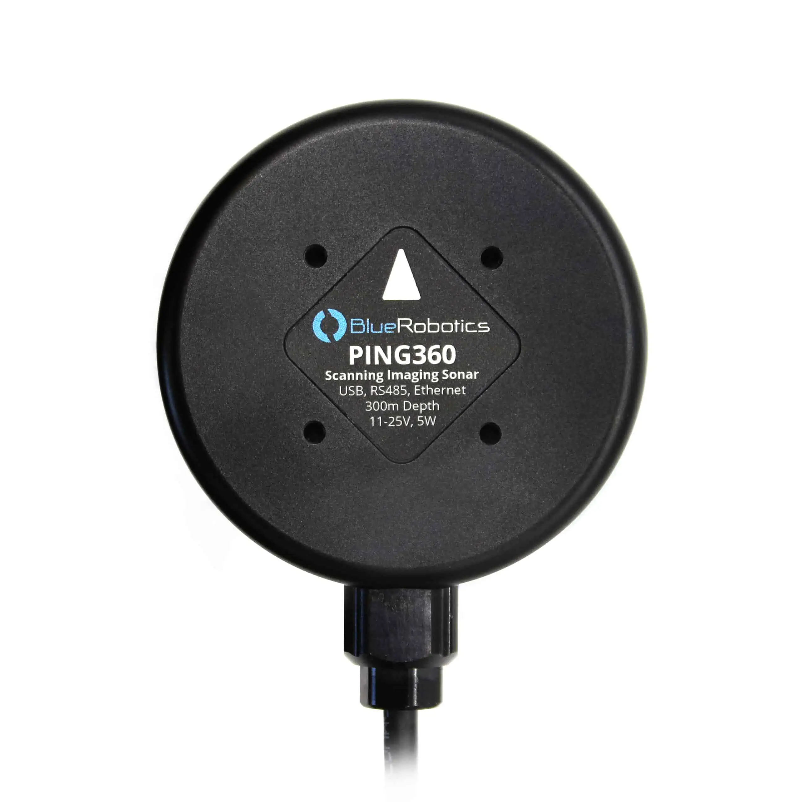
Ping360 Scanning Imaging Sonar
The Ping360 has a 50 meter (165 foot) range, 300 meter (984 foot) depth rating, and an open-source software interface that makes it a capable tool for ROV navigation and underwater acoustic imaging.
It’s designed primarily to be used on the BlueROV2 and other ROVs for navigation in low-visibility water conditions, but it’s also suited for applications such as inspection, obstacle avoidance, target location and tracking, autonomous systems development, and more!
Specifications:
| Dimensions (length x diameter) | 83 x 77 mm |
| Weight in Air (with 1m cable) | 510g (18 oz) |
| Weight in Water (with 1m cable) | 175g (6.17 oz) |
| Max Power Consumption | 5W |
| Frequency | 750 kHz |
| Beamwidth | 2° horizontal 25° vertical |
| Range | 0.75 – 50m (2.5 – 165 ft) |
| Range Resolution | 0.08 % of range |
| Scan Speed (one revolution) | 9 sec @ 2m 35 sec @ 50m |
| Pressure rating | 300m (984 ft) |


