


GPS Correction for Unmanned Systems
TopNET+ Network & Data Correction Software by Topcon Positioning
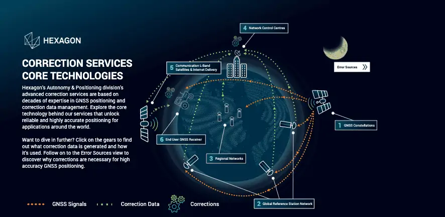
Positioning data sent to GNSS receivers from satellite constellations (including GPS, Galileo, BeiDou and GLONASS) may be subject to a number of errors. These errors may arise due to a number of sources, including satellite clock drift, satellite position estimation inaccuracies, atmospheric distortion, and multipath effects.
Decimeter – or centimeter-level GNSS positioning is essential for a wide variety of unmanned and autonomous platforms, including UAVs (unmanned aerial vehicles), UGVs (unmanned ground vehicles), USVs (uncrewed surface vessels) and other mobile robotics platforms. In order to achieve this, GNSS receivers need to acquire corrected positioning data from another source.
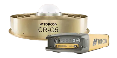
CORS Networks
GNSS corrections may be delivered by a reference station, which is a base station installed at a fixed position with a precisely known location. Many regions around the world have networks of corrections stations, known as CORS (Continuously Operating Reference Stations) networks, spread over wide areas. In order to access the corrections data, which is typically delivered by Internet (using the NTRIP protocol), satellite, or cellular communications, users must typically subscribe to a GNSS corrections service.
RTK – Real-Time Kinematic
GNSS and GPS corrections services may enable high-accuracy positioning via a number of methods. The most accurate of these is RTK (Real-Time Kinematic), which assumes that both the mobile receiver and the reference station are subject to the same errors (such as atmospheric delay), which can be canceled to produce a more accurate positioning model.
PPP – Precise Point Positioning
PPP (Precise Point Positioning) corrects only the satellite clock and orbital position errors, making it less accurate than RTK. PPP also typically requires longer initialization times, but does not require a reference station to be in the vicinity of the receiver. A hybrid positioning service known as PPP-RTK is also available that combines the advantages of the two methods.
TerraStar® PPP correction services from NovAtel
Correction Software
Software is available for GNSS applications that automatically handles all communications with the receiver, including configuration of GNSS corrections data from various services.


 Join Thousands of Unmanned Systems Professionals
Create a UST Pro account to get full website access, the weekly eBrief and exclusive event discounts.
Join Thousands of Unmanned Systems Professionals
Create a UST Pro account to get full website access, the weekly eBrief and exclusive event discounts.


