


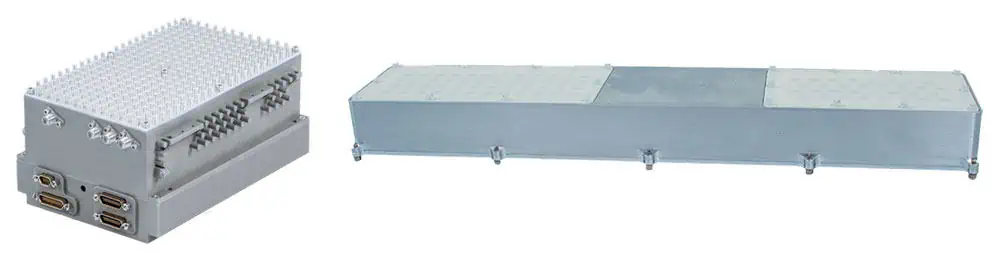
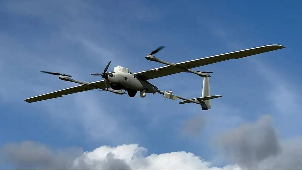
IMSAR is democratizing radar by producing Low Size, Weight and Power (Low SWaP) synthetic aperture radar systems to be integrated with unmanned aerial vehicles and drones. Our lightweight, compact radars complement EO/IR and electronic warfare (EW) payloads and provide advanced geospatial intelligence capabilities typically reserved for use on much larger platforms, in all weather conditions, day or night.

IMSAR’s radar ecosystem allows users to plan their flights, collect images, and turn radar returns into actionable intelligence with a variety of easy to interpret data products such as high-resolution SAR images, Coherent Change Detection (CCD) products, and Moving Target Indicator (MTI) feeds.


 and Processing, Exploitation, and Dissemination (PED) software")


 Radar")

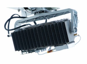
 Radar")


