


Klau Geomatics, a developer of Post Processed Kinematic (PPK) direct georeferencing technology, has announced its new high-accuracy georeferencing solution for unmanned aerial vehicles (UAVs).
This new solution is the result of close collaboration between Klau Geomatics and Hexagon’s Geosystems Division, enabling users to conduct UAV surveying projects without running a local GPS receiver, producing highly accurate 3D survey data.
“In addition to accuracy, which is the most important feature of our georeferencing solution, is the simplified and efficient workflow. Users don’t need any survey equipment to place Ground Control Points (GCPs) or even a local base station for their PPK. They can collect precise georeferenced UAV data and even capture ground check points just using their UAV,” says Adam Chabok, technical director of Klau Geomatics. “With the unique, simplified plug and play payload, the system can be easily attached to any UAV or manned aircraft.”
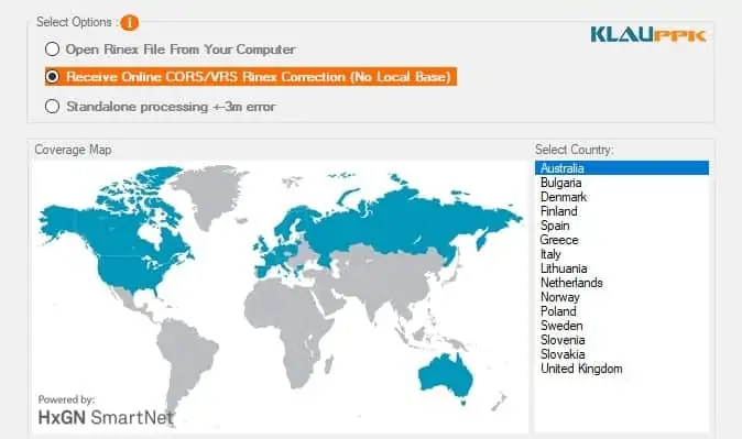
“HxGN SmartNet provides the perfect reference station infrastructure and enables automated access via the X-pos technology,” said Robert Martin, Business Director of HxGN SmartNet. “This is an excellent example of an application that benefits from a fast workflow where users can always rely on HxGN SmartNet RINEX data repository, consisting of more than 4,500 reference stations worldwide. Any delays in data handling are eliminated by instant access to the required data files.”
With the Klau PPK direct georeferencing system, UAVs can cover a larger area in a single flight by reducing the side overlap down to 40 percent. With the pre-calibrated cameras that come as part of the PPK package for DJI UAVs, data processing takes significantly less time. Photogrammetry processing software is given accurate camera calibration, position and attitude data to accelerate the aerial triangulation process, to achieve better results, much faster, with less photos.
Construction and mine sites often use customized local coordinate systems and datums. Data produced by a typical UAV needs to be transformed to the local site frame of reference to be useful. This process is managed in the KlauPPK solution to allow users to collect accurate aerial data in any local or global coordinate system without external coordinate conversion software. KlauPPK enabled UAVs can be used to collect ground control points, similar to a survey grade GPS receiver, and automatically calibrate to the local site frame of reference.
The KlauPPK solution is compatible with most DJI UAVs or other fixed wing, multirotor and custom UAVs or manned aircraft.


