


CompassDrone, a developer of unmanned aerial solutions for high-quality data collection, has announced a new comprehensive drone-based mapping program designed specifically for Public Safety applications. The Complete Incident Response Recovery Unmanned Aerial System (CIRRUAS) program is designed primarily for Accident Reconstruction and Crime Scene Mapping, but is also applicable to Search & Rescue and Reconnaissance missions.
“CIRRUAS was designed by law enforcement for law enforcement to meet their unique mapping and data collection needs,” said CompassDrone Vice President Hayden Howard. “The result is a complete drone program comprising all the hardware, software and training they need to deploy drones in their daily operations.”
“We designed CIRRUAS to make data collection safer, faster and more accurate for public safety officers,” said Howard. “The program is an affordable, all-inclusive solution for mapping with unmanned aerial systems.”
The CIRRUAS package contains everything needed for public safety personnel to quickly and accurately map an accident or crime scene for 3D reconstruction or evidence preservation purposes. Different CIRRUAS packages are offered, but each contains multiple DJI drones, software, and Part 107 commercial flight training.
“The DJI drones selected for this package capture imagery of sufficient quality for the 3D photogrammetric mapping required for accident reconstruction and crime scene visualization,” said Howard. “Every CIRRUAS package is backed up with ongoing technical and applications support by CompassDrone personnel.”
The Elbert County, Colorado, Sheriff’s Department is among the first to participate in the program. The department’s Lt. Patrick Cillo commented: “It’s an extremely comprehensive program.”
CompassDrone will showcase and demonstrate the CIRRUAS solution at the 2017 APCO Conference & Exhibition in Denver.
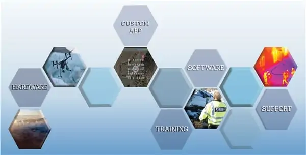
The following are available for inclusion in CIRRUAS packages:
Hardware:
- DJI Inspire 1 v2 Drones – equipped with a 12-megapixel camera capable of capturing still and video imagery suitable for 3D mapping
- DJI Phantom 4 Advanced Drones – designed for longer flights, complex flight patterns, and demanding environments, such as 3D photogrammetric mapping as well as Search & Rescue missions
- DJI Mavic Drone – small and compact quadcopter well suited for indoor data collection at crime scenes and real-time video streaming for reconnaissance during live incidents
- DJI Osmo Video Camera – designed for collection of 12-16-megapixel color video on the ground, quickly capturing high-quality imagery of a crime or accident scene
- Trimble TDC Smart Phone – a rugged Android handheld which can run the CompassDrone App
- Laser Technology TruPulse 200L – handheld laser that accurately measures distances at crime and accident scenes
Software
- CompassDrone App – designed with input from law enforcement to fly the types of multi-grid patterns and capture the data they need for both legal compliance and accurate crime/accident reconstruction. Included is a unique circular autonomous flight pattern designed specifically for public safety uses.
- Cloud-Based Photogrammetric Software – the CompassDrone App pushes captured raw image and metadata to CompassDrone software in the cloud to create photogrammetric-quality 3D map products
Training
- Part 107 Certification – instructs personnel in drone operation and airspace restrictions as mandated by FAA. Also included is half-day Night Waiver instruction for nighttime drone operation, vital for accident mapping and search & rescue activities
- AIRS Training – taught by law enforcement veterans, this course provides an introduction to the basics of traffic accident scene mapping, data collection, image analysis and 3D reconstruction.


