


AirMap and senseFly have announced that they have partnered to deliver AirMap’s airspace services to senseFly’s eBee fixed wing drones and albris quadcopter.
AirMap’s airspace platform services will be directly integrated into senseFly’s eMotion flight and data management software, providing professional operators and their drones with critical information and tools to enable safe missions. AirMap’s industry-leading situational awareness data include airspace rules and advisories, locations of critical infrastructure and real-time alerts about nearby manned air traffic flying in the surrounding airspace. senseFly drones will also begin leveraging AirMap’s flight planning tools and solutions for Unmanned Traffic Management, including technology that will allow senseFly drones to submit digital flight notices to more than 125 airports.
“senseFly is pushing the boundaries of drone innovation, demonstrating the tremendous potential of intelligent drones to help us do business and benefit our everyday lives,” said AirMap CEO Ben Marcus, who also serves as the industry co-chair for the FAA/industry Unmanned Aircraft Safety Team. “We’re excited to partner with senseFly to realize safe, efficient commercial drone operations.”
“senseFly solutions are designed from the ground up to maximize the operator’s efficiency and minimize risk, which is why our drones weigh only an average of two pounds and include a plethora of failsafes,” said senseFly CEO Jean-Christophe Zufferey. “By partnering with AirMap and adding industry-leading airspace intelligence to the mix, we are taking another big leap forward and ensuring that our customers’ commercial drone operations are safer and more effective than ever.”
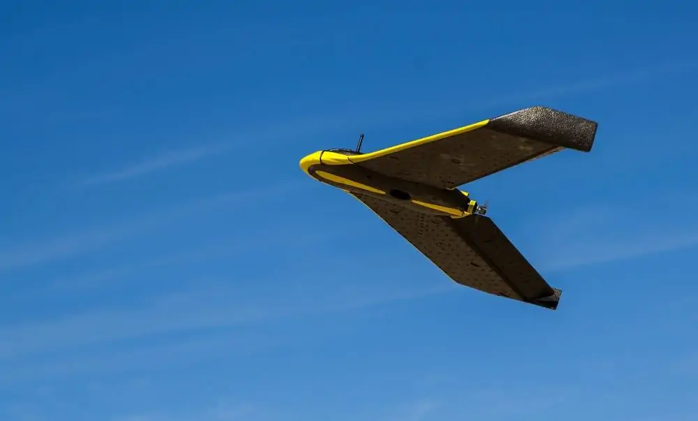
senseFly’s professional aerial imaging drones have flown nearly 400,000 successful flights to date, mapping over 49 million acres across seven continents. While a human operator can take control at any time, senseFly drones are typically flown automatically, capturing photos and landing themselves. Following the creation of a terrain-adjusted flight plan in eMotion, the company’s latest eBee Plus drone can fly for 59 minutes and map up to 15 square miles on one battery charge.
The AirMap platform powers millions of drones, and hundreds of drone manufacturers and developers rely on the platform to access and share the data they need to fly safely in low-altitude airspace. More than 125 airports use AirMap’s airspace management dashboard to open surrounding airspace to drones, view past and current drone flights, accept digital flight notices and communicate with drone operators.


